Find Sheboygan Property Records
Sheboygan Property Records work well as a city-plus-county search because the city assessor, the county register of deeds, and the county geospatial hub each cover a different part of the same parcel. The city assessor handles the city assessment side. The county register processes a large volume of real estate documents each year. The geospatial hub gives you tax parcel maps and survey records from 1972 to the present. That combination is useful when you need a current assessment, an older survey clue, or a filing trail that can be checked against a map.
Sheboygan Property Records Search
The Sheboygan City Assessor's Office at City Hall, 828 Center Avenue, is the first local stop for Sheboygan Property Records. It maintains property assessments and provides property information. The office is also working through a revaluation for 2022 to 2026, so the city-side value picture may be changing over time. That is a good reason to confirm the parcel there before you move to the county file.
The Sheboygan County Register of Deeds at sheboygancountywi.gov/departments/departments-r-z/register-of-deeds handles the county document side. The office processes over 20,000 real estate documents annually, and land records represent about $11 billion in real estate in Sheboygan County. That makes Sheboygan Property Records a serious record set, not just a casual lookup. If you need the filed document, the county office is where the trail ends.
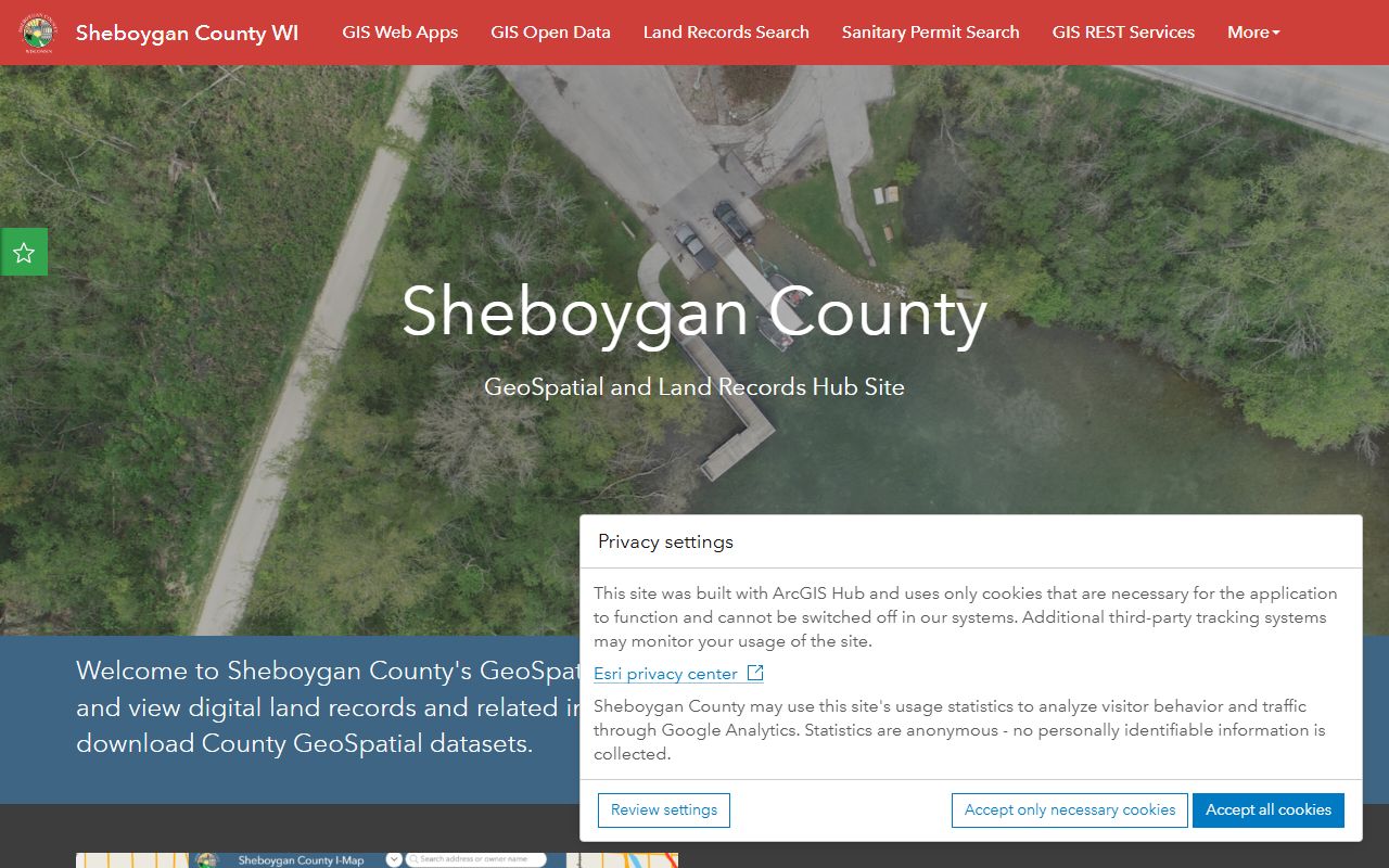
The Sheboygan County Geospatial Hub at geospatialhub-shebco.hub.arcgis.com adds tax parcel maps and survey records from 1972 to the present. That is the bridge between the assessment view and the deed file. Sheboygan Property Records are easier to read when the city assessment screen, the county deed trail, and the parcel map are all checked together. The map side often tells you whether the document you found matches the right land.
State support helps with the legal side. Wis. Stat. § 59.43 covers recording duties, and Wis. Stat. Chapter 706 is the conveyance chapter that helps when a Sheboygan search turns into title work. The Wisconsin State Law Library at wilawlibrary.gov/topics/realprop.php is the clearest plain-language backup when a deed note or survey term needs more context.
Sheboygan Property Records Office
The city assessor office at 828 Center Avenue is the city front door for Sheboygan Property Records. It helps you understand the assessment record before you move into the county archive. That is useful in a city with an active revaluation cycle because the city side can shift while the county filing trail stays the same. The city page gives you the current view of the parcel.
The county register office at 508 New York Ave. handles the document side and the historic file. Because the county processes so many real estate documents, the office is central to any real property question that needs a filing trail or a recorded image. Sheboygan Property Records are strongest when the city assessment page and the county register page are used together. The city page tells you what the property is worth or how it is classified. The county page tells you what was filed.
The geospatial hub is the piece that keeps the record and the parcel from drifting apart. Survey records from 1972 to present are especially useful when a deed alone does not explain the property. If the lot line or subdivision is hard to picture, the hub can make the file easier to read. That is one reason Sheboygan Property Records stay useful for both current ownership checks and older land history.
When you need the official copy, the county register remains the place to finish the request. The city and geospatial screens narrow the lead. The county office closes the loop. That is the cleanest way to handle Sheboygan Property Records when the question is about a deed, a survey, or a recorded transfer.
Sheboygan Property Records Maps
See the Sheboygan County Geospatial Hub in this county geospatial source when you want tax parcel maps and survey records beside Sheboygan Property Records.
The geospatial hub is the strongest local map source for parcel and survey checks.
See the Wisconsin State Cartographer parcel data in this state parcel source when you want a broader Wisconsin comparison.
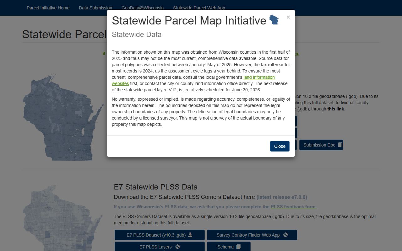
The state parcel layer helps when the county file needs a second visual check.
See the Wisconsin Department of Revenue transfer search in this state transfer source when you want filing context beside Sheboygan Property Records.
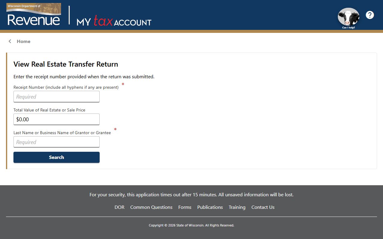
The transfer search is useful when a deed and transfer return should be read together.
Sheboygan Property Records Fees
The research set gives a broad cost picture but not a full public fee table for Sheboygan Property Records. What it does show is that the city assessment record and the geospatial hub can narrow the parcel before you ask for a county copy. That is the smart first step because the county office handles a lot of documents and the city revaluation may affect how the parcel is read. A clean first pass can save time later.
The county office volume is also a clue that the record trail should be narrowed before you request a copy. If the city classification, the survey record, and the county filing all line up, the request is easier to explain and less likely to miss the right file. Sheboygan Property Records are easier to budget for when the parcel is already confirmed.
For statewide context, Wis. Stat. § 77.22 covers transfer fees, Wis. Stat. § 77.25 covers exemptions, and Wis. Stat. § 77.265 explains why some transfer return details stay private.
Sheboygan Property Records Help
If you need help with Sheboygan Property Records, start with the city assessor and then move to the county geospatial hub. That order fits the local record trail. The city office gives you the current assessment view. The county hub gives you the parcel and survey view. The register of deeds then finishes the filing side when you need the recorded document.
The geospatial hub is especially helpful because it covers survey records from 1972 to the present. That makes it easier to trace a parcel that has changed over time or a lot that is hard to picture from the deed alone. Sheboygan Property Records are strongest when the city assessment page, the county survey layer, and the register page all line up on the same property.
If the legal wording gets dense, the Wisconsin State Law Library is the best plain-language backup. If the parcel needs a wider map comparison, the Wisconsin State Cartographer parcel data is the better outside source. Those pages do not replace the city and county offices. They just make the local record easier to read.
Once the parcel is identified, the county register remains the official place for the recorded document. That keeps Sheboygan Property Records tied to the actual filing trail instead of a broad summary. It is the cleanest way to search when a property question depends on both the map and the paper record.