Search Stevens Point Property Records
Stevens Point Property Records are easiest to handle when you start with the city assessor and then move to Portage County land records. The city office can show the assessment side. The county register of deeds carries the recorded land trail back to 1836. Portage County GIS adds the map layer that helps you confirm the parcel before you ask for a copy or dig deeper into the file. If you are working from a street name, owner name, or older deed clue, this city and county path keeps the work practical and local.
Stevens Point Property Records Search
The Stevens Point City Assessor's Office at City Hall, 1515 Strongs Avenue, is the first city stop for Stevens Point Property Records. It maintains property assessments and provides property information services, which makes it the right place to begin when your clue is an address or a tax question. The city view can confirm the parcel before you move over to the county filing side. That keeps the search grounded and cuts down on guesswork.
For the recorded document trail, the Portage County Register of Deeds at co.portage.wi.us/government/departments-a-e/register-of-deeds is the next stop. The office maintains land records for Stevens Point with records dating back to 1836. That reach matters because Stevens Point Property Records can involve a modern sale, a corrected deed, or a long title chain that still depends on older filings. The county register is where the legal paper trail lives.
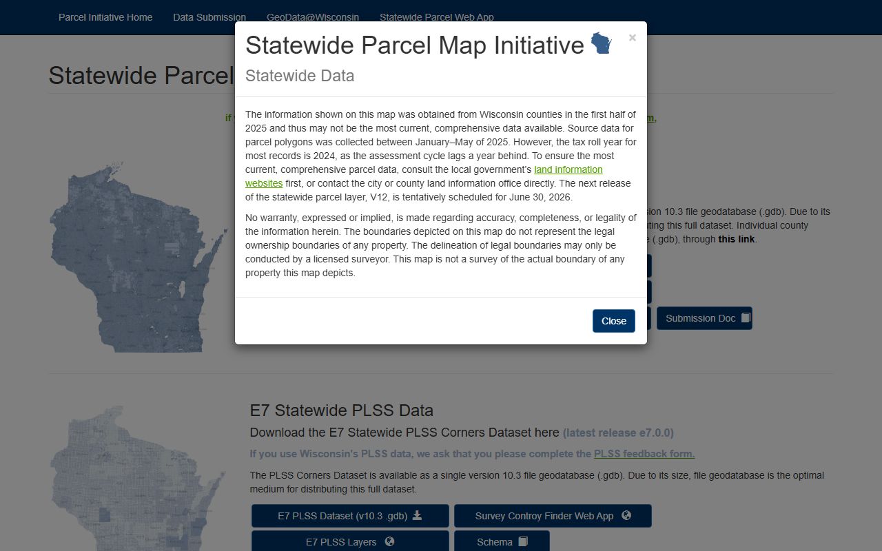
Portage County GIS at portagecowi.maps.arcgis.com/apps/webappviewer/index.html gives you the map side. That tool is useful when the parcel line, street clue, or neighborhood reference needs a visual check. Stevens Point Property Records work best when the city assessment file, the county deed file, and the map layer all point to the same property. If they do, the search is usually straightforward. If they do not, the map can help show why.
State context still matters. Wis. Stat. § 59.43 covers recording duties, and Wis. Stat. Chapter 706 is the best conveyance chapter when Stevens Point Property Records need title context. If the wording still feels dense, the Wisconsin State Law Library at wilawlibrary.gov/topics/realprop.php gives a cleaner plain-language backup.
Stevens Point Property Records Office
The city assessor office is the front door for Stevens Point Property Records when the search begins with the parcel itself. The office at City Hall, 1515 Strongs Avenue, can help you understand the city assessment record before you move to the county record side. That matters because the city sees the property from an assessment angle, while the county sees it from a filing angle. If you know the address, the assessor can tell you whether you are on the right track before you spend time on the next step.
The county register of deeds is the document anchor. Because the Portage County records reach back to 1836, older work can still be handled with real confidence. That is useful when Stevens Point Property Records involve an older subdivision, a long chain of title, or a deed reference that is not obvious on the first screen. The county office is where the filing trail lives, even if the city office is where the parcel first makes sense.
Portage County GIS is the map and data side. It helps when the property description is hard to picture from the text alone. A lot of Stevens Point Property Records questions are solved faster when the assessor page, the deed page, and the GIS page are used together. That is especially true when the street clue and the legal description seem close but not quite the same. The map can show whether the issue is with the record or the location.
Stevens Point Property Records Maps
See the Portage County GIS map in this county GIS source when you want the local parcel view beside Stevens Point Property Records.

The county GIS portal is the clearest local map check when the parcel needs a visual match.
See the Wisconsin State Cartographer parcel data in this state parcel source when you want a broader Wisconsin comparison beside Stevens Point Property Records.
The statewide parcel layer helps when the county map needs a second look or a wider frame.
See the Wisconsin Department of Revenue transfer search in this state transfer source when you want a public filing trail beside Stevens Point Property Records.
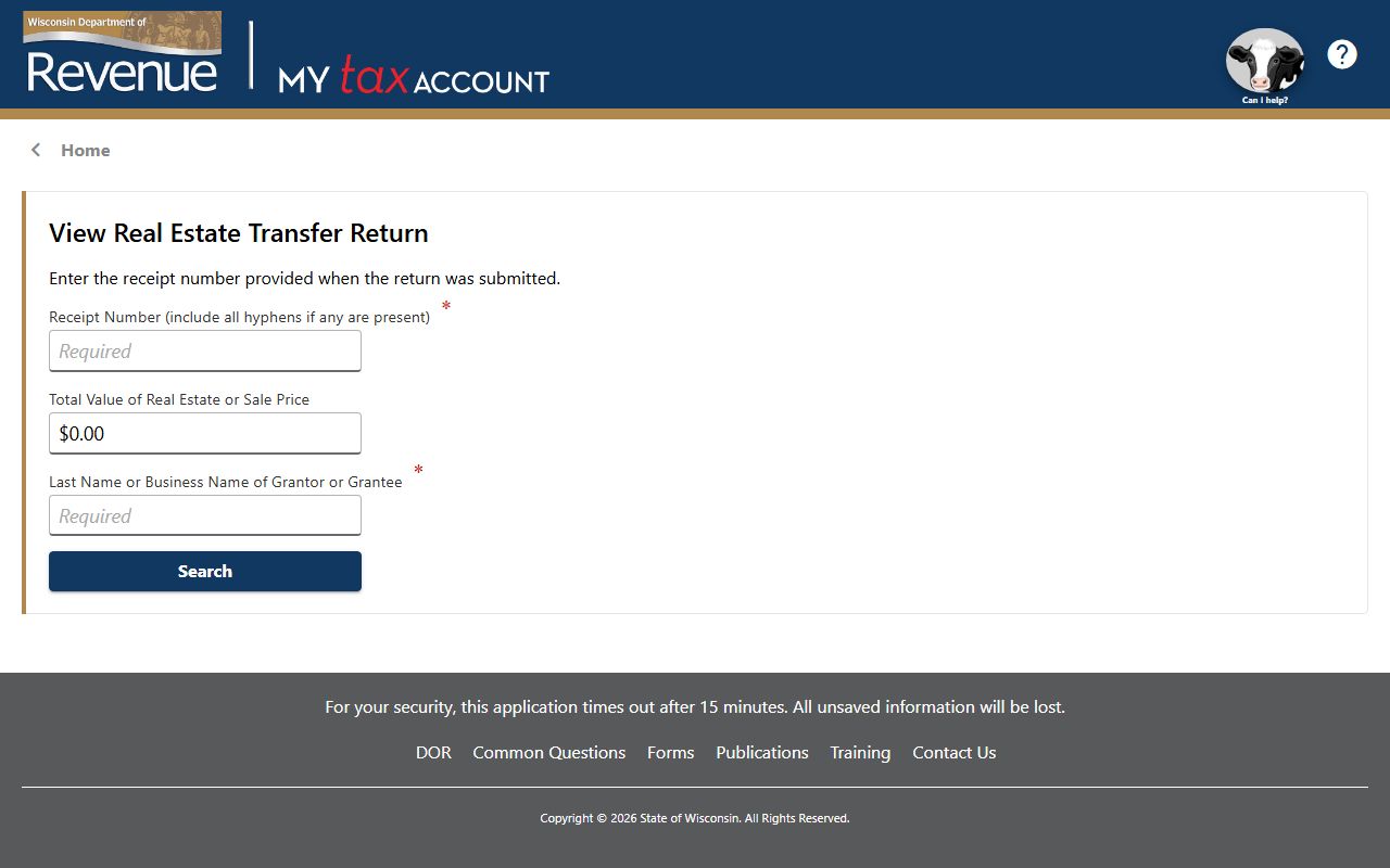
The transfer search is useful when a deed and transfer return should be read together.
Stevens Point Property Records Fees
The research set does not publish a full fee table for Stevens Point Property Records. What it does make clear is that the county record side is deep enough to matter, with files dating back to 1836. That means the best way to keep costs under control is to narrow the property first, then ask the county office about the document you actually need. A clean lead often saves a lot of time.
The city assessor page can help you do that. If the address or tax clue is wrong, you can catch it early before you ask for the county file. Portage County GIS also helps because a map check can show whether the parcel really matches the address or the land clue. Stevens Point Property Records are easier to budget for when the city and county layers already agree on the same property.
For statewide context, Wis. Stat. § 77.22 covers transfer fees, Wis. Stat. § 77.25 covers exemptions, and Wis. Stat. § 77.265 explains why some transfer return details stay private. Those links help make the filing side easier to read even when the office does not publish a fee sheet here.
Stevens Point Property Records Help
If you need help with Stevens Point Property Records, start with the city assessor and then move to the Portage County Register of Deeds. That order fits the way the local record trail works. The assessor gives you the city view of the property. The county register gives you the filing trail. The GIS page then helps you confirm the parcel shape or location before you settle on the file you want.
The county record depth matters here. Because records go back to 1836, older title work can still be handled if you keep the clues organized. A street name, an owner name, or an old deed reference can often be connected once the assessor page and GIS page are open. Stevens Point Property Records are strongest when those three layers point to the same land instead of competing with one another.
If the wording gets dense, the Wisconsin State Law Library is the best plain-language backup. If the property question turns into a title question, Chapter 706 is the right statewide chapter to review. If the parcel needs a wider map comparison, the State Cartographer data is the best outside check. Those state tools do not replace the city and county offices. They just make Stevens Point Property Records easier to read and keep the search moving in the right order.
The county register remains the official place for the filed document. That keeps Stevens Point Property Records tied to the actual record trail instead of a broad summary. It is the cleanest way to search when the city view and the county filing need to be read side by side.