Search Barron County Property Records
Barron County property records are centered in Barron and at the Government Center. Start with the Register of Deeds for deed images, grantor and grantee indexes, and legal description searches. Then use the county map tools for parcel data, assessments, and tax details. If you need a fast first pass, the public portals can narrow a search by address or parcel number. If you need a certified copy or older book and page data, the county office is still the best stop.
Barron County Property Records Overview
Barron County Property Records Office
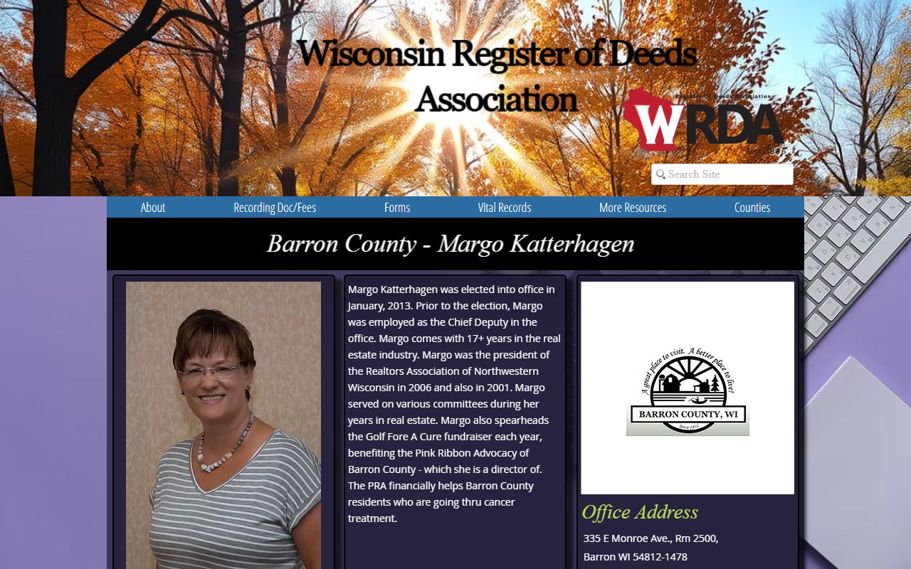
The Barron County Register of Deeds works from the Government Center at 335 E. Monroe Avenue in Barron. The office keeps real estate records and vital records, and it indexes land papers by grantor, grantee, and legal description. That makes the office useful when you know a seller, buyer, or parcel, but not the full chain of title. E-recording is part of the county process, so newer filings can move faster than old paper books. Wisconsin recording rules in Wis. Stat. § 59.43 set the framework, while the transfer fee rules in Wis. Stat. § 77.22 explain the state transfer return process.
Barron County also keeps the county homepage, office list, and map tools in one place. The county site is a good place to start when you want the right office and the right phone number before you walk in. The homepage source is linked at Barron County's main site, and the image below shows the county entry point people use to reach land records and tax pages.
Barron County's main site brings the office, map, and tax tools together in one place.
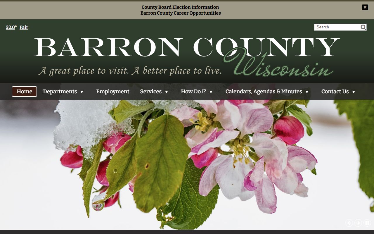
That homepage route helps when you need the Register of Deeds, land information, or the treasurer in the same visit.
Barron County Property Records Search
The county's Beacon GIS map is the strongest public search tool for a quick parcel check. It lets you search by owner name, parcel number, or address, then drill into map layers, assessments, and parcel detail. That makes it handy when you are comparing one site against another or trying to match a tax bill to a lot. The county's property tools also tie into the treasurer and land information pages, so you can move from map view to tax or survey data without starting over.
The public side is useful, but it is not the whole record set. Deed images, old books, and recorded documents still live with the Register of Deeds. For that part of the record trail, the county department page is the better route, while the Beacon map is the faster route for the live parcel view.
The Beacon portal can show:
- Owner and parcel search results
- Property boundaries and map layers
- Assessment data and tax context
- Aerial imagery and map tools
Barron County property search and Barron County Beacon GIS work together when you need both a name search and a visual parcel check.
Barron County Beacon GIS is the county's public map and parcel search tool.
Use it for quick checks, then confirm any old deed or plat detail at the Register of Deeds.
Barron County Property Records Maps
Barron County's land information work goes beyond a simple parcel map. The county tracks survey records, plat maps, aerial imagery, and LiDAR data, and the deep map set makes it easier to study grade, shape, and land use. The county summary also notes a 2019 FEMA elevation dataset and 3D viewing tools, which matter if you are checking drainage, road edge, or a rough build site. That kind of map detail is not the same as a deed image, but it often answers the next question after a record search.
For tax and assessment work, the county treasurer and real property lister pages are the next stops. Use the treasurer for payment status and tax history, and use land information for parcel-based map work. The county also has around 42,294 parcels, so good search terms help. Parcel number and address search usually beat a broad name search when you already know the lot.
Barron County's map and tax links include Land Information, Treasurer, and the county's public maps portal. The county homepage and map stack make it easy to move from one layer to the next.
Barron County Property Records Fees
Barron County follows Wisconsin recording and transfer rules. The state transfer fee is tied to value under Wis. Stat. § 77.22, and transfer returns remain confidential under Wis. Stat. § 77.265. That means the public can see the recorded land document, but some transfer return data stays closed. The county research also points to the state electronic return system, which is the right place to verify how the transfer process works across Wisconsin.
When you need a copy, the office charge and the page count both matter. The Barron research notes public access to recorded documents, document images, and survey materials, while the county and state resources give you the framework for how those records are handled. If you want to compare the county's document access with statewide rules, the Wisconsin Department of Revenue and the Wisconsin Register of Deeds Association are good cross-checks. Use Wisconsin Department of Revenue, eRETR, and WRDA to fill in the state side.
Record fees can change. If you need a plain copy, a certified copy, or a bulk search, call the office before you go. That avoids wasted time and keeps the request tied to the right parcel, book, or legal description.
For a deeper view of county land work, the Barron County WRDA profile shows how the county fits into Wisconsin's broader property records network.
Barron County WRDA profile gives a broader look at the county's land-records role.
That profile is useful when you want the county office in a statewide context, not just as a single search page.
Barron County Property Records Sources
If you want the cleanest path, start with the county tools and then move outward. The county homepage, Register of Deeds page, Beacon map, treasurer page, land information page, and WRDA profile cover the core local path. If the record involves a transfer return or a wider property law question, the state statutes and DOR resources add the next layer. That is the best way to keep a search local without missing the state rules that shape the record.
The county office is still the anchor. Maps help. Tax data helps. But the deed file and recorded instrument remain the source of truth when you need title history or a copy for closing, probate, or a family file. For that reason, Barron County property records work best when you use the map tool, the tax tool, and the Register of Deeds together.
Note: Barron County's public tools are strong for parcel and address searches, but the Register of Deeds remains the best stop for certified copies and older deed images.