Search Brown County Property Records
Brown County Property Records start with the county offices in Green Bay, where the Register of Deeds, Land Information staff, and Treasurer all help people track land, taxes, and recorded papers. If you want a deed, a parcel record, a map layer, or a tax roll clue, the county gives you more than one path. Some tools are free and public. Others are tied to the office counter or a paid document system. The right path depends on what you know now, what you need next, and whether you are looking for a parcel, a transfer, or a full recorded image.
Brown County Property Records Overview
Brown County Property Records Offices
Brown County keeps its core land records at the Register of Deeds office in the Northern Building at 305 E Walnut Street in Green Bay. The county homepage at browncountywi.gov ties the office pages together if you want one starting point. The office records deeds, mortgages, land contracts, plats, certified survey maps, and UCC filings tied to real estate. It also keeps vital records, though the real estate and vital records windows use different hours. Real estate service runs Monday through Thursday from 7:30 a.m. to 5:00 p.m., then Friday from 7:30 a.m. to 11:30 a.m. Vital records close earlier on Friday. That split matters when you need to make a same-day stop.
The office history is useful too. Brown County merged its Abstract Listing Office with the Register of Deeds office in 1998, which folded two land-tracking systems into one setup. By 2003, the office had recorded its two-millionth document. That scale says a lot about how much land history sits in one place. The office also accepts electronic recording through authorized vendors, so some filings move faster than paper. For the legal side of the process, Wisconsin Stat. 59.43 governs recording rules and fees, while chapters 706 and 77.22 control conveyances and transfer fees.
Brown County also gives you a public map side through land information staff. That helps when a deed alone is not enough. A parcel line, a district label, or a tax layer can answer the next question faster than a stack of pages. If you are comparing a grantor index entry with a parcel map, the county pages work best together. For broad state context, the Wisconsin Register of Deeds Association at wrdaonline.org and the Wisconsin State Law Library at wilawlibrary.gov/topics/realprop.php are good backup references.
Search Brown County Property Records Online
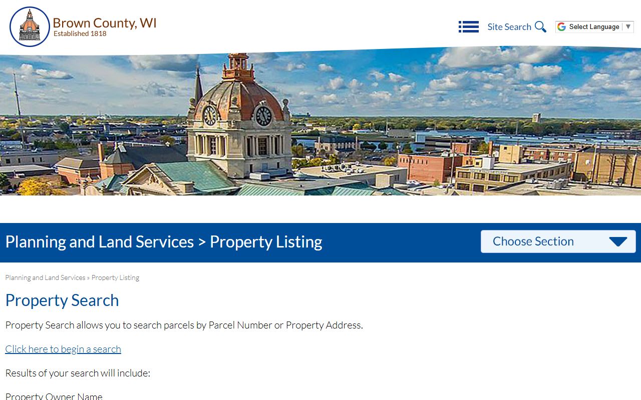
The free Brown County property search is the first stop for many users. It is built for parcel and address lookup, not owner-name search. That limit is intentional. The county says the free site does not allow owner-name lookup, so if you need to search by person you should move to the Register of Deeds system or visit the office in person. Search results can still give you a lot. Brown County property search displays parcel data, property owner name, municipality, school or sanitary district information, land class, acreage, assessed values, mailing address, tax records, legal description, comments, and history.
The county maps portal adds another layer. It is not just a map. It is a working tool for property and district information, and it supports a more visual way to check what a parcel looks like on the ground. The map resources also connect to tax and GIS data, which makes them strong for a quick screen before you request a copy. The Brown County page at browncountywi.gov/maps is a natural companion to the free property search page at browncountywi.gov/propertysearch.
When you need transfer detail, the state eRETR system helps fill in the picture. The Wisconsin Department of Revenue keeps the public property transfer search at ww2.revenue.wi.gov/RETRWebPublic/application. That record set supports searches by transfer data and connects to the state tax side that feeds assessment work. The transfer return itself is confidential under Wis. Stat. 77.265, so you get public transfer facts without open access to the sensitive pieces. That balance is important in Brown County and across Wisconsin.
Here is the simplest way to move through Brown County Property Records online:
- Start with parcel number or property address on the free county site.
- Use the maps portal when you need district or boundary context.
- Move to the Register of Deeds when you need an owner-name style search or a full image.
- Check the state transfer search when you want deed timing and transfer detail.
See the county search portal in this Brown County property search source before you choose a next step.
That search view is useful when you already know the parcel or address and want a fast read on taxes, district lines, and the reference documents tied to the land.
Brown County Property Records Maps
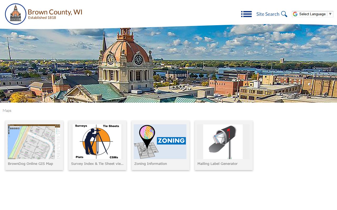
Brown County's land information side is where the map work gets practical. The Land Information office maintains parcel boundaries, aerial photography, and related GIS layers. The county maps page pulls several tools into one place, which makes it easier to look at a parcel from more than one angle. That matters when a record needs context. A deed tells you what changed. A map tells you where it sits. Together they make the file easier to trust and easier to explain to someone else.
The public property search and the maps page share the same kind of question trail. They help you move from address to parcel, parcel to district, and parcel to a larger set of records. The maps page at browncountywi.gov/maps and the land information page at browncountywi.gov/departments/land-information are good if you need property parcel data, zoning context, or a county layer before you request paper. The Wisconsin State Cartographer's Office also keeps statewide parcel data at sco.wisc.edu/parcels/data, which helps when you want a wider Wisconsin comparison.
The Brown County map tools are also useful because they bring tax roll and district clues into the same view. That cuts down on guesswork. If you are trying to confirm whether a lot changed after a transfer, or whether two records describe the same parcel, the map can clear that up. The county page at browncountywi.gov/maps is the place to start, and it is worth pairing with the parcel search page. Property Records work best when the map and the index agree.
See the land information page in this Brown County land information source before you search deeper.
That GIS view is a clean way to check parcel shape, district lines, and the broader land picture before you ask for copies.
Brown County Deeds And Property Records
Brown County deeds and transfer records tie the whole file together. The Register of Deeds office records deeds, mortgages, plats, certified survey maps, and UCC filings that touch real estate. If you need a direct document image, the office is the place to go. If you need the legal path behind a transfer, the county and state sources together can show how the parcel moved. That is why Brown County Property Records often take more than one search. The free parcel site shows the present. The deed file shows the change. The law tells you how the change became valid.
The Wisconsin transfer fee rule at Wis. Stat. 77.22 sets the base rate for most non-exempt conveyances. Transfer returns are confidential under Wis. Stat. 77.265, which keeps tax IDs and other private data out of public view. Recording format and document acceptance sit under Wis. Stat. 59.43. Those rules matter when you are preparing a deed, checking a filing, or sorting out whether a document was meant to be recorded at all. For broader title rules, Wis. Stat. 706 is the key chapter.
Brown County also has a long institutional memory. The 1998 merger of the Abstract Listing Office and the Register of Deeds office means land data has been tracked in a more unified way for years. That helps when you need a chain of title, not just one paper. If you are researching older land or trying to confirm a filing sequence, the office history and the current electronic tools should be read together. Brown County Property Records are strongest when you use the office page, the state rules, and the parcel tools in one pass.
See the Brown County Register of Deeds in this Brown County Register of Deeds source before you request a copy.
The register page is the best place to confirm office hours, the current contact path, and the record types handled at the counter.
Brown County Property Records Resources
Brown County has enough public material to support a careful search without forcing you into guesswork. If the free parcel lookup does not give you what you need, the county maps, the land information office, and the Register of Deeds page fill in different parts of the record trail. That is especially useful in a county where a parcel search does not allow owner-name lookup on the free side. The county chooses that structure for a reason, so the better path is to follow the tools in the order they were designed.
The Brown County WRDA profile at wrdaonline.org/brown-county gives another official point of reference for county land records. On the state side, the Department of Revenue home page at revenue.wi.gov and the Wisconsin property law overview at wilawlibrary.gov/topics/realprop.php help when you want the statewide frame around a Brown County transfer. If you are checking parcels, tax values, and fair market clues, the Wisconsin parcel map data at sco.wisc.edu/parcels/data is a solid cross-check.
Brown County Property Records are also easier to use when you keep the language simple. Search by parcel, address, document number, or legal description when the tool allows it. Use the county map when a lot shape or district boundary matters. Use the Register of Deeds when you need the real paper. And use the state rules when you need to know why a fee, form, or transfer step exists. That is the cleanest way to move from a rough lead to the exact file.
See the Brown County WRDA profile in this Brown County WRDA source for another official land-records entry point.
The county maps page is a practical last stop when a deed, tax note, or parcel label needs one more visual check.
See the Brown County association profile in this Brown County WRDA profile source to compare local access with other Wisconsin counties.

That profile helps anchor Brown County in the statewide register of deeds system and shows how the county fits the broader Wisconsin land-records network.