Search Clark County Property Records
Clark County property records run through Neillsville and the county courthouse network. The Register of Deeds, land information office, surveyor, and treasurer all play a role, so a good search often starts with one office and ends in another. If you need a deed image, a tract index, a parcel map, or a tax clue, Clark County has enough digital tools to make the search practical. The county's old record history is deep, and the online side goes back to the mid-1800s.
Clark County Property Records Overview
Clark County Property Records Office
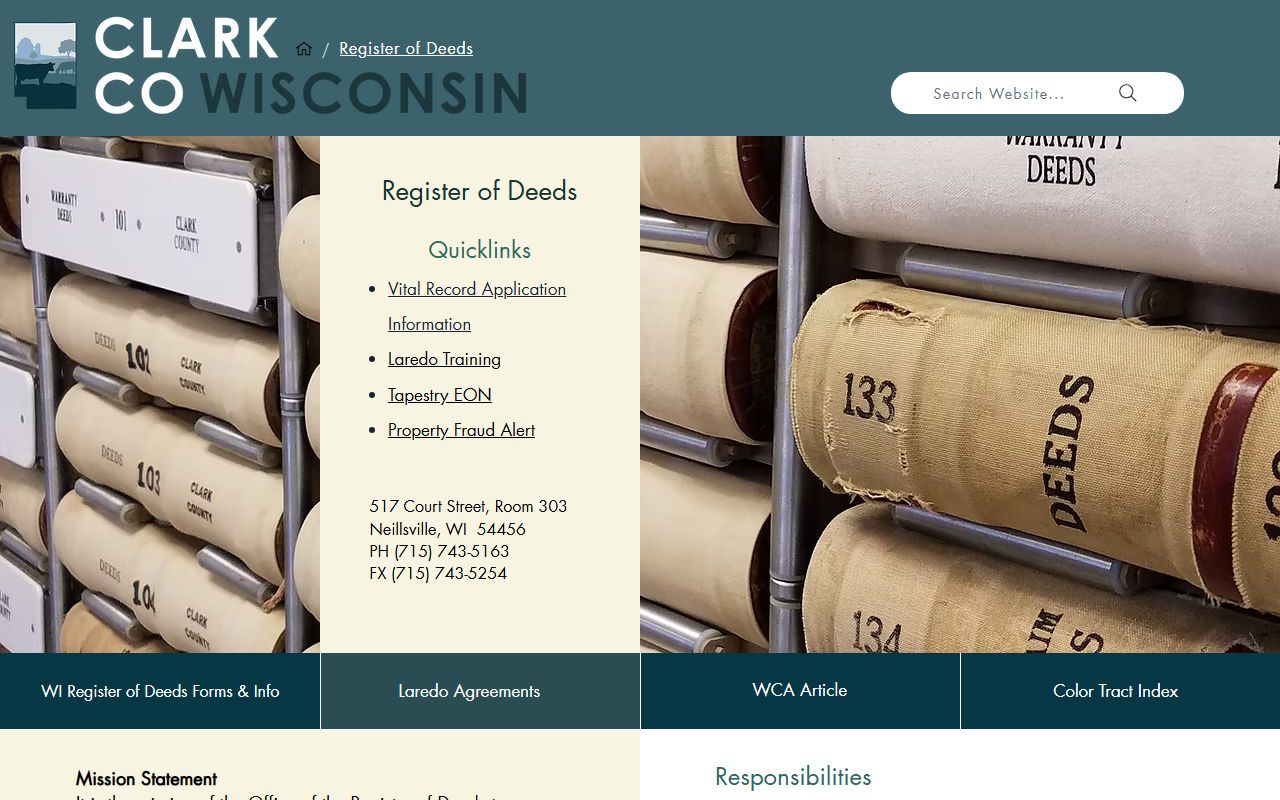
The Clark County Register of Deeds office operates from the courthouse at 517 Court Street, Room 103, in Neillsville. Mary A. Denk leads the office, and the county history says the office began operation on January 1, 1855. That gives Clark County a long paper trail and a very clear public records culture. The office records and indexes real estate documents, keeps vital records, and provides access through in-office terminals. For state support, Wis. Stat. § 59.43 is the basic recording statute that frames the county work.
Clark County also gives you a strong public front door. The county register page explains the office role, and the land information pages show how the county ties record work to mapping, parcel updates, and modernization. The county office is not just storing old deeds. It is keeping the land records system usable for current searches, transfer updates, and public lookups.
The county website at Clark County is the main hub for office pages, forms, and local services tied to the records search.
Clark County Register of Deeds is the county's main deed and records office.
That office page is the anchor for document requests and public record access.
Clark County Register of Deeds also has the office detail that helps when you need the local phone number or a document request path.
That second office view is useful when you want the county's records page and the office identity together.
Clark County Property Records Search
Clark County's online access is built around Tapestry and a color tract index. The county says digital images are available from 1855 to the present, and the tract index books are scanned so old land research does not stop at the edge of the digital file set. That matters when you are chasing a title line, an old subdivision, or a deed book reference that predates the modern search tools. The public record side is well organized, and it is still detailed enough for serious work.
The county also uses a Beacon GIS map for parcel work. That map can show assessment records, multiple layers, and a surveyor view, so it is more than a basic parcel picture. When you combine the tract index, deed images, and map data, Clark County property records become much easier to sort out.
Clark County Laredo agreements support remote access to land record searches.
Clark County Beacon GIS gives you the county's public map and parcel layer.
Use it to line up a parcel, a corner, or a property detail before you pull documents.
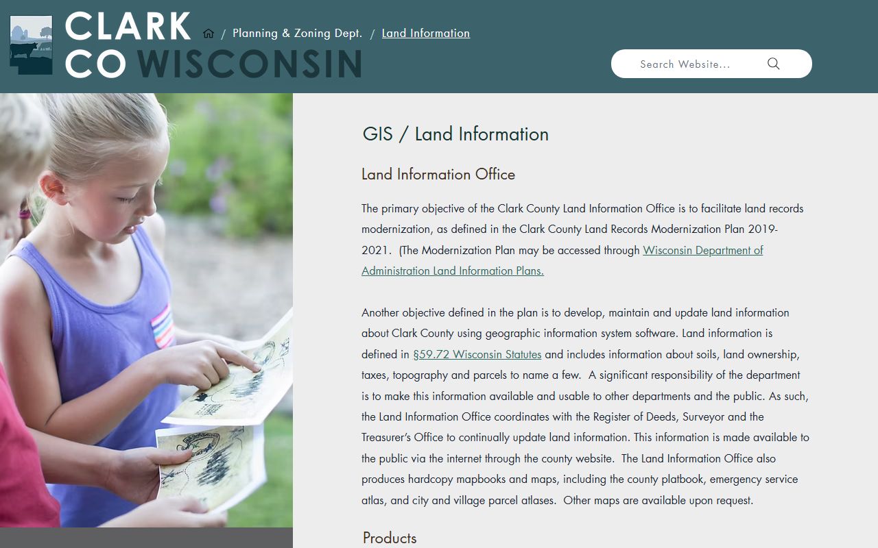
Clark County land information office keeps the modernization work moving.
Clark County planning and zoning land information links the land records work to county planning tools.
Clark County Property Records Survey Data
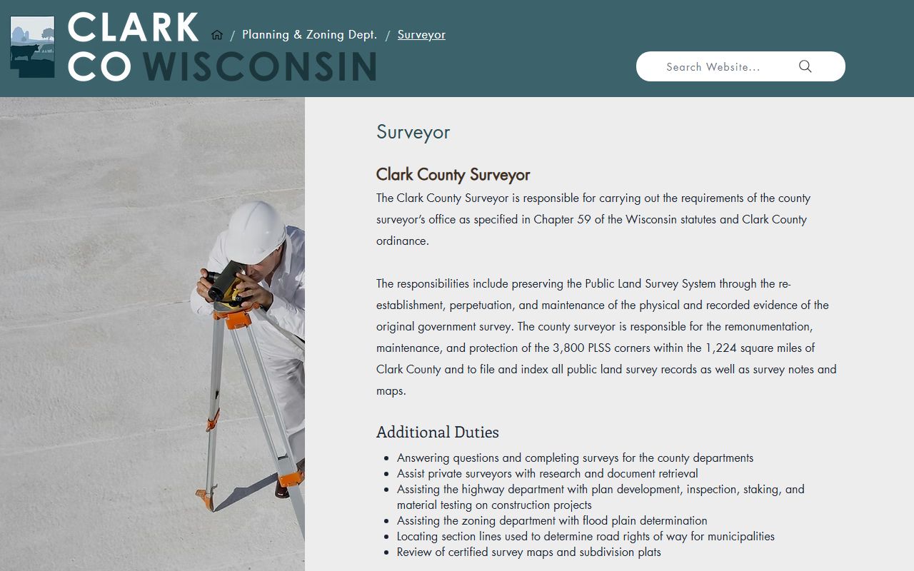
The surveyor office is one of the county's most useful public record tools. Clark County says the office preserves the Public Land Survey System and maintains about 3,800 PLSS corners. It also uses tie sheets, photos, and field notes, which help when a parcel boundary or section line is not obvious. For property work, that matters. A clean deed search is good, but a boundary search often needs survey context too. Clark County gives you both sides of the story.
The county land information office coordinates with the Register of Deeds, surveyor, and treasurer, so the system is joined up instead of split apart. That coordination helps keep parcel records current and makes the county a better place to search when land lines, taxes, and transfer records need to match.
Clark County surveyor preserves the corner and section data used in land searches.
The surveyor page and the Beacon map work together when the parcel question is about where a line actually sits.
That survey work is important when a lot line or section corner needs proof.
Clark County land information supports the county's GIS and modernization effort.
That office is the bridge between maps, records, and updated parcel data.
Clark County Property Records Tax Data
The treasurer and real property lister side of Clark County matters because the county keeps about 33,000 parcel records and uses them for tax bills and transfers. That means the tax office is not just collecting payments. It is also part of the record chain that keeps parcel data current after a deed is filed. If you are checking a transfer, a bill, or a tax deed process, the treasurer page is one of the best county tools to open.
Clark County's tax setup fits Wisconsin's property record system. Transfer returns and recording rules still sit under the state statutes, including Wis. Stat. § 77.22 and Wis. Stat. § 77.265, while the county handles the parcel side and the local bill side. If you need the broader state parcel view, the Wisconsin State Cartographer's Office is the right cross-check.
Wisconsin State Cartographer's Office parcel map and Wisconsin Department of Revenue are the state-side checks that help confirm parcel and transfer details.
Clark County treasurer keeps the parcel and tax side aligned with the county record system.
That planning and zoning page is another route into parcel, land-use, and record context.
Clark County WRDA profile places the county in the statewide land records network.

It is a useful statewide reference when you want context beyond the county line.
Clark County Property Records Access
Clark County keeps access fairly open. The register of deeds office offers in-office terminals, and the county says online access through Tapestry is easy to reach from the county website. The tract index books and digital images from 1855 forward make the county especially useful for older research. If you are doing a title chain or a long property history, the scanned tract index is often the quickest way to bridge from a modern parcel to an older deed book.
Clark County also has a practical workflow for records search. Start with the office page, use the Beacon map for parcel context, and check the surveyor and land information pages if you need line work or map detail. That gives you a clean way to get from a record name to a real parcel on the ground.
Clark County Register of Deeds department page and Clark County land information department page are the main county-side guides.
Note: Clark County's older tract index and survey tools can matter as much as the deed image when you need a boundary or title history answer.