Search Douglas County Property Records
Douglas County property records are centered in Superior and tied closely to the county GIS and land-records systems. If you need a deed image, parcel data, a survey sheet, or a tax deed trail, the county gives you a clear way in. The modern record set started its digital turn in 1997, and the office has been back-indexing and scanning older files to bring more of the history into reach. Start with the county portal, then move to the office page when you need a certified copy or a more precise document search.
Douglas County Property Records Overview
Douglas County Property Records Office
The Douglas County Register of Deeds office is in the courthouse at 1313 Belknap Street in Superior. The office records real estate documents, maintains vital records, and issues certified copies. The county research says the office converted to imaging and computerized indexing in 1997, then kept scanning and back-indexing older land records back to the mid-1990s. That matters because Douglas County property records are not just a modern portal. They are a long file chain that the county has worked to make easier to reach.
The county home page is a useful entry point when you want the office list and county services in one place. Douglas County links to the county's main pages, while the Register of Deeds page gives the office side of the search. For the basic recording rule, Wis. Stat. § 59.43 is the core statute. The county also follows the state transfer and confidentiality rules under Wis. Stat. § 77.22 and Wis. Stat. § 77.265.
Douglas County is the main county gateway for offices and local services.

That homepage route is the fastest way to reach the county's record, tax, and mapping pages.
Douglas County Register of Deeds is the office for recorded documents and certified copies.
That records portal is where the county's document search starts to open up.
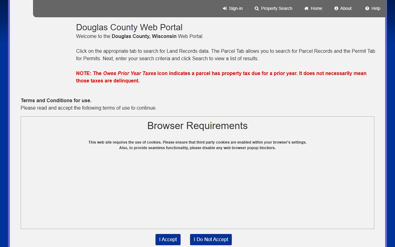
Douglas County Property Records Search
Douglas County gives you several ways to search. The web portal can search by owner name, parcel number, and document type. The county also offers a GIS mapping site and a land records page with free GIS downloads, survey records, and a statewide parcel map link. That combination is strong for a county with both urban and rural land. If you know the parcel, the portal helps. If you only know the owner, the portal still helps. If you need to move from a document to a map, the county has that covered too.
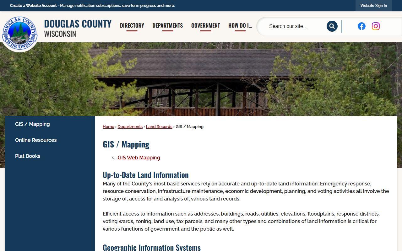
The county GIS page says many county services depend on accurate land information. That is not just a slogan. Emergency response, conservation work, and infrastructure all rely on the same parcel base. The GIS department and land records page keep that base moving, and the county surveyor adds the older survey record layer behind it.
Douglas County web portal is the direct land-record search page.
Douglas County web portal lets you search by owner, parcel, or document type.
Use it first when you already know the person, parcel, or document style you want.
Douglas County land records includes free GIS downloads and survey records.
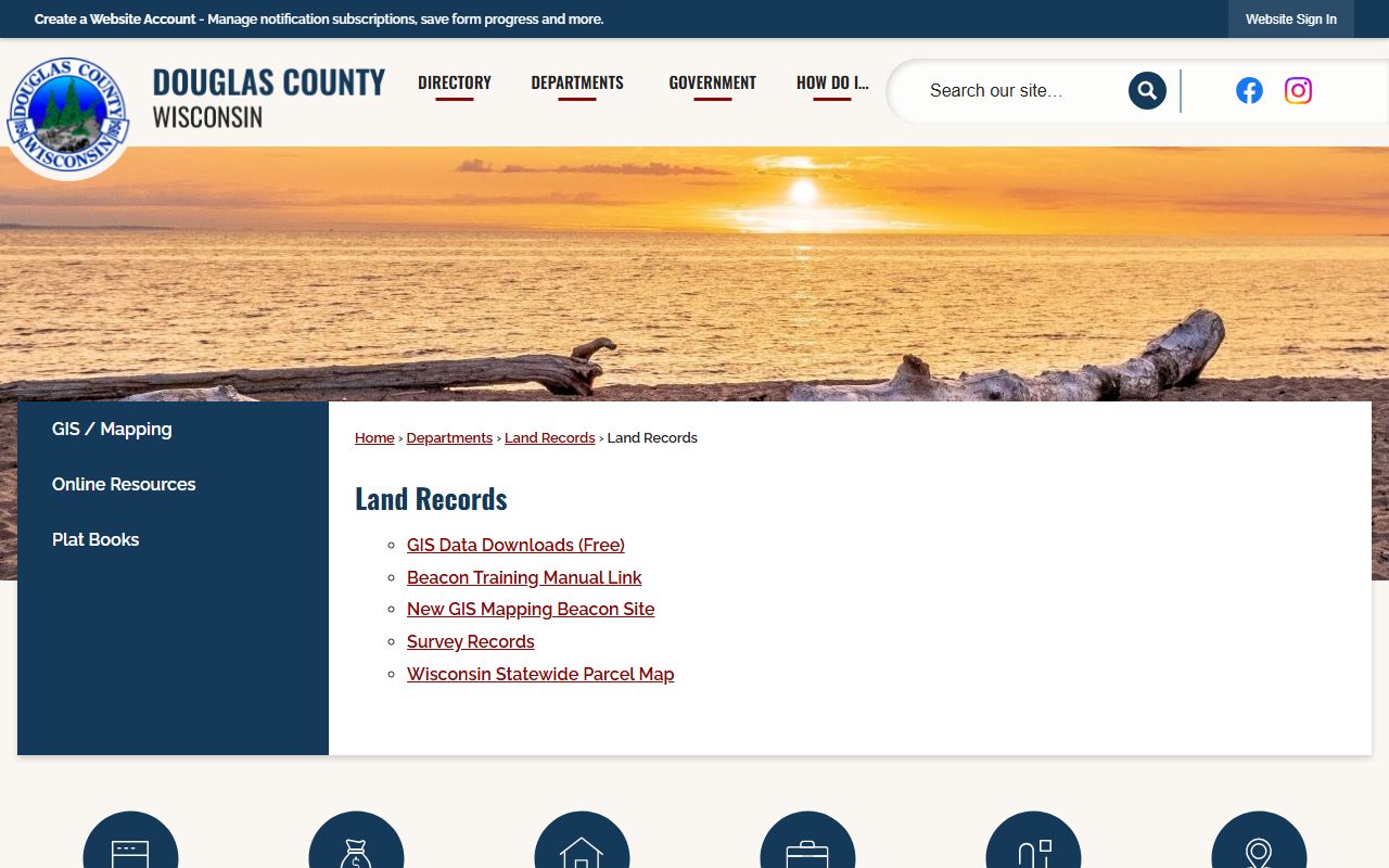
That page is the county's main bridge between land records and the map layer.
Douglas County Property Records Maps
Douglas County uses more than one map tool. The WebGuide Xtreme map site lets you search land records data and parcel numbers. The GIS department page explains why accurate land information matters across county services, and the Beacon mapping tools add another layer for property and assessment data. That is helpful in a county where the record work, survey work, and tax work all connect. If the parcel shape looks odd or a split happened long ago, the map can answer questions that a deed file cannot.
The county surveyor is part of that picture too. Original government survey data, maps of survey, and monument record sheets support the older boundary layer. When you pair those materials with the county's GIS downloads, the result is a stronger parcel history than a simple address search can give you. The State Cartographer's Office parcel map is a smart cross-check when you want a statewide view of the same land.
Douglas County web mapping is the county's main parcel map site.
Douglas County web mapping supports land records and parcel searches through a public map interface.
That GIS page helps explain why the county map is part of the records workflow, not a separate add-on.
Douglas County GIS mapping department keeps the county land data organized.
Use it with the map site when you need the parcel view and the records view at the same time.
Douglas County Property Records Sales
Douglas County tax deed land sales are governed by state procedure. The county research points to Wis. Stat. §§ 75.35 and 75.89, which frame the sale of tax deeded lands, the bid process, and notice to adjacent property owners. That matters if a parcel was seized for taxes and then moved toward sale. In that setting, the treasurer, land records office, and county sale page all sit close together. A tax deed trail is still a property record trail, just one with a different set of rules.
The county treasurer page handles tax records and payment status, so it is the right place to check before you assume a delinquent parcel has already moved into sale status. The land records page and the web portal can then help confirm the parcel side. If you need broader context, the Wisconsin Department of Revenue and the Wisconsin Register of Deeds Association are good state references to compare county practice with statewide rules.
Douglas County Treasurer is the local tax side of the record system.
Douglas County WRDA profile places the county in the statewide records network.

That profile is useful when you want to compare Douglas County's tools with other Wisconsin counties.
Douglas County Property Records Access
Douglas County is practical about access. The county web portal lets you search by owner, parcel, and document type. The land records page offers free GIS downloads, survey records, and parcel map access. The register of deeds office can still issue certified copies when you need the paper record itself. That combination is what makes Douglas County property records workable for both quick searches and deeper title work.
One more useful point is the county surveyor. The surveyor's original government survey data and monument sheets give the boundary layer more depth than a typical parcel viewer. If your search touches a tax deed sale, a replat, or an old division line, it is worth checking the survey side before you stop. The county and state resources together provide a clean path from record to map to tax.
Wisconsin State Cartographer's Office parcel map and Wisconsin Department of Revenue are the state-level checks that help confirm the county record trail.
Note: Douglas County's land records and map tools work best when you use the portal, GIS page, and survey records together instead of treating them as separate systems.