Forest County Property Records
Forest County Property Records are anchored in Crandon, where the Register of Deeds office, the property listing side, and the land information program all work together on a county scale. That matters because Forest County has a paper history, a digital history, and an active mapping history all in the same place. The county's records are not hard to begin, but they do reward a clear path. Start with the office page, then move into the search tools and the GIS side if you need parcel context. The county setup is simple once you know which office owns which part of the record trail.
Forest County Property Records Overview
Forest County Property Records Office
The Forest County Register of Deeds office is at 200 E. Madison Street in Crandon. The office hours are 8:30 a.m. to 4:30 p.m., though the office may close from 12:00 p.m. to 1:00 p.m., so calling ahead is smart. The office is small, but it plays a big role. The WRDA profile names Cortney Britten Cleereman as Register of Deeds and notes one full-time deputy. That kind of staffing tells you the office is built for direct service and steady records work, not large-scale bureaucracy.
The WRDA profile is the strongest county source for Forest County Property Records. It says the office has used computerized tracting and grantor/grantee indexing since 1992, with back-keying going back to 1990 as time permits. It also says paper records remain the permanent record. That mix is important. It means Forest County has a digital search layer, but the paper file still matters. The office page at co.forest.wi.us/departments/register-of-deeds gives the basic contact route, while the WRDA page at wrdaonline.org/forest explains how the system works.
Forest County also links the Register of Deeds office to the Treasurer and property listing office, which keeps the record trail practical. That is helpful when you need a parcel line, a tax note, or a name to match the deed. Wisconsin Stat. 59.43 still governs recording standards, and 706 still governs conveyances. The county structure sits inside that state frame, so the office page and the statute page work well side by side when you need to understand what got filed and why.
Search Forest County Property Records Online
Forest County gives you a free recorded-document search path, which is a useful first stop when you need an image or an index clue. The county's online search material is designed to let users search by property type, owner, parcel number, or property address. That means a search can begin from a person or from the land itself. The county website and the WRDA profile together show that the office wants public access to be easy to reach and useful from home computers. That is a strong setup for Forest County Property Records.
The Beacon GIS portal at beacon.schneidercorp.com/Application.aspx?App=ForestCountyWI&PageType=Map is the other key online tool. It gives a parcel viewer for interactive mapping and property context. That is the right tool when the question is not just what the document says but where the property sits and how the parcel is shaped. The county land information side also points toward parcel mapping modernization, which keeps the digital work tied to the county's mapping program. If you need a visual check, Beacon is the place to start.
Forest County Property Records get easier to trace when you use the online search and the map together. A deed image gives the record trail. Beacon gives the parcel view. The WRDA profile gives the office history. Those three pieces make a clean county search path. If the office is closed for lunch or if you are working after hours, the online tools still let you keep moving. That is a good fit for a county that has both a deep paper record and a workable digital one.
Use the online path in this order when you need to narrow a search:
- Start with the free recorded-document search when you need an index or image clue.
- Use Beacon when the parcel view or boundary matters.
- Check the WRDA profile when you want office history and search structure.
- Use the Register of Deeds page when you need the direct office contact route.
See the Forest County Beacon portal in this Forest County Beacon source before you compare a parcel with the record file.
The Beacon map is the cleanest public view when you want a parcel viewer that connects record data to land location.
Forest County Property Records History
Forest County Property Records have a useful mix of old and new. The county still treats paper records as the permanent record, but the office has also built a digital system that goes back to 1992 for computerized tracting and grantor/grantee work. Back-keying continues to 1990 when time allows. That means the county has not tried to replace the old record trail. It has tried to make the old trail easier to search. That is the right balance for a county where title and land use questions can go back many years.
The WRDA profile also notes that parcel maps are being digitized through the land information program. That is a good sign because parcel maps often carry the context that a deed alone cannot show. A recorded document tells you what changed. A parcel map tells you where it sits. Forest County Property Records are strongest when those two layers line up. The county land information side and the Beacon map make that easier to do from home or at the office.
Access still depends on office hours in some cases. The office may close from noon to one, and that short break can matter if you plan an in-person visit. The county page at co.forest.wi.us/departments/register-of-deeds is the direct place to confirm the current office path. The county homepage at co.forest.wi.us is useful when you want the broader county structure first. Forest County keeps the work simple if you stick to the office page, the WRDA profile, and the parcel map together.
Forest County Property Records Resources
See the Forest County WRDA profile in this Forest County WRDA source when you want the office history and indexing notes.
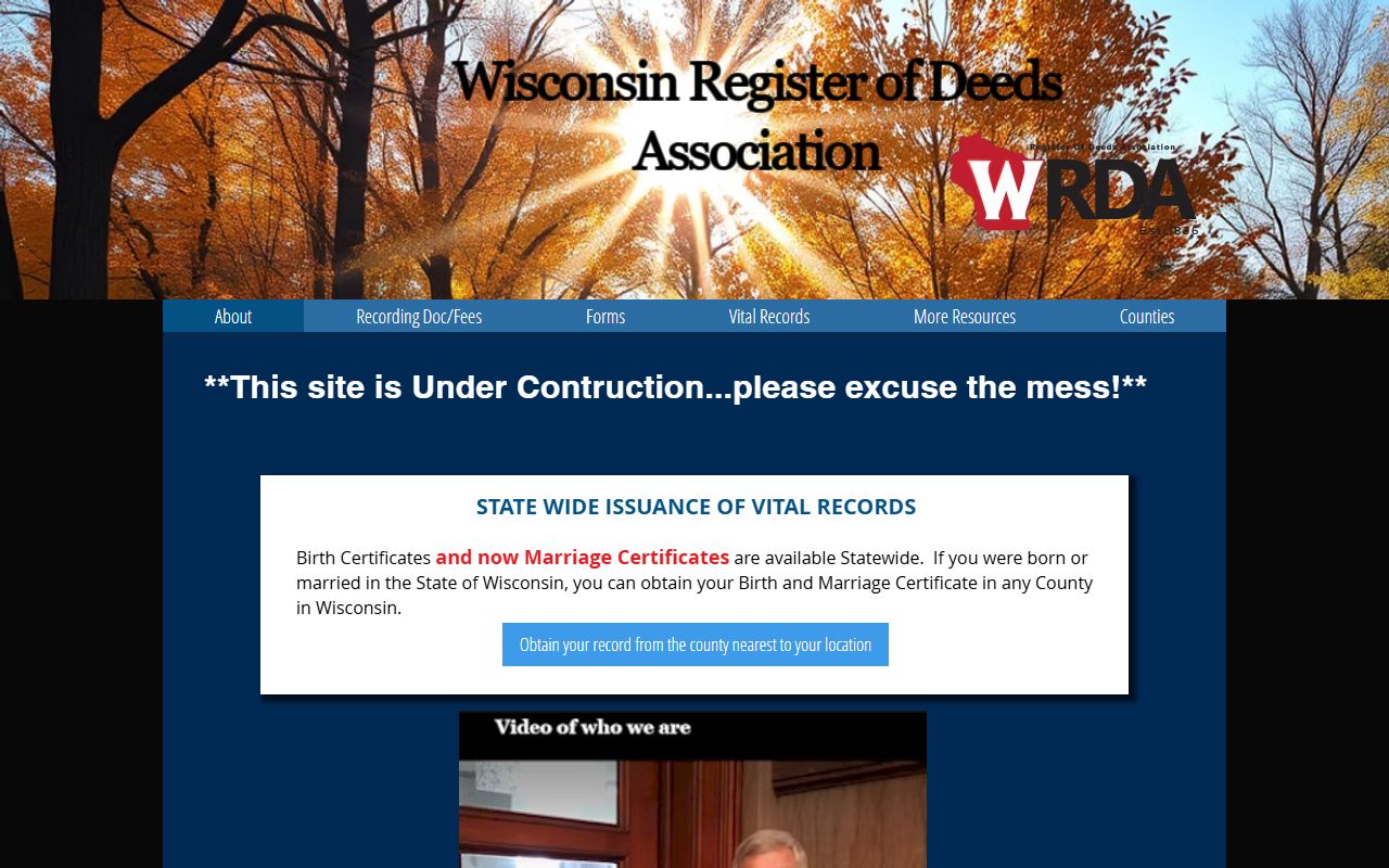
The statewide association image is a useful fallback here because Forest County does not have multiple county-specific image assets in the local set.
See the Wisconsin State Law Library property guide in this state property law source when you want a plain language guide to the legal terms.
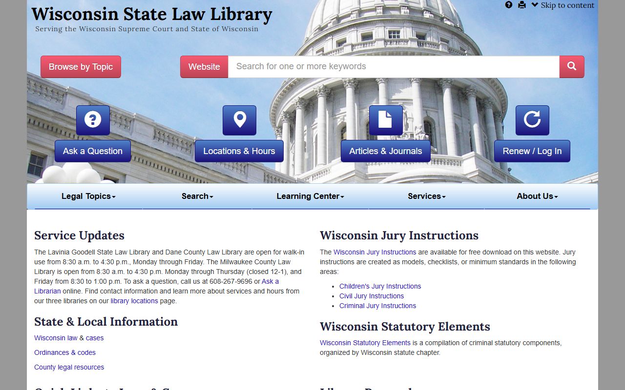
The law library guide is useful when a statute, deed term, or transfer rule needs a clearer explanation.
See the Wisconsin State Cartographer's parcel data in this state parcel map source when you want a wider mapping comparison for a Forest County parcel.
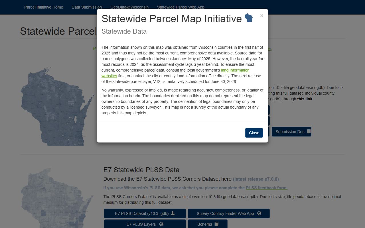
The statewide parcel map helps when you want to compare a county parcel with the broader Wisconsin mapping dataset.
Forest County Property Records also fit the same statewide property rules as every other county. Recording practice comes from Wis. Stat. 59.43, transfer practice from 77.22, and transfer confidentiality from 77.265. The Wisconsin State Law Library at wilawlibrary.gov/topics/realprop.php is a good plain-language aid when those rules come up during a search. That gives you a solid local-to-state path without overcomplicating the page.