Search Green County Property Records
Green County Property Records are centered in Monroe, where the Register of Deeds, Land Information office, and Treasurer all help you trace the same parcel from different angles. If you need a deed, a land record search, a tax clue, or a map check, the county gives you a clean path. The county's land records and mapping tools are especially useful because they connect property ownership, parcel boundaries, PLSS records, and tax context in one place. That keeps the search local and practical, and it makes the county easier to work with when you have only part of the record in hand.
Green County Property Records Search
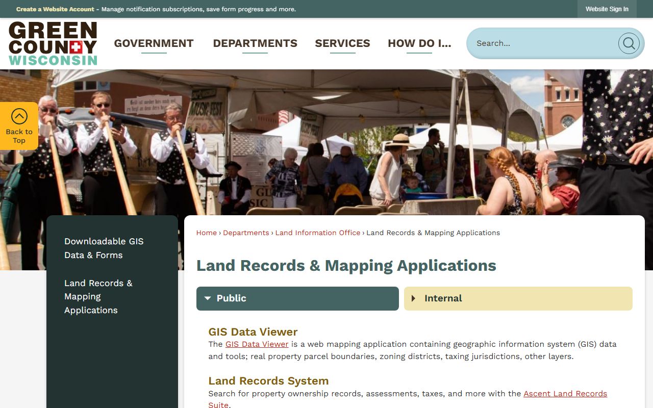
The Green County Register of Deeds maintains real estate records and vital records for the county, and the courthouse office in Monroe is the first stop when you need the official paper trail. The county's land records and mapping applications page is stronger than a simple index because it offers a GIS Data Viewer, a Land Records System, PLSS Monument Records, a quarter-quarter finder, and an Act 377 map. That gives Green County Property Records a stronger map side than many counties with a single parcel view.
The county quick links page adds another useful layer. It points users to online search for land records documents, Wisconsin Department of Revenue property sales, Wisconsin Public Land Survey Records, and free property fraud alerts. That matters because a search is not only about finding the record. It is also about checking how the record fits into the wider land and tax system. Green County keeps those tools grouped in ways that make sense for real research.
For a basic county start, use co.green.wi.us and then move into the land records applications page at greencountywi.org/177/Land-Records-Mapping-Applications. The official county pages are the cleanest path when you want ownership records, assessments, taxes, and parcel boundaries to stay aligned. Green County Property Records work best when you let the county tools do the first pass.
Green County Property Records Office
The Green County Register of Deeds office is at 1016 16th Avenue in Monroe, and the county research keeps the office grounded as the official source for real estate records and vital records. If you need a certified copy or a confirmation that a filing reached the county book, the office is the right place to ask. The county site keeps the office contact information and the land information links together so you do not have to guess where a record belongs.
Green County also uses Tapestry for occasional professional users. The research notes say it supports searches by name, document number, and recorded date, with copy fees of $2 for the first page, $1 for each additional page, and $1 for a certified copy fee. That means the county has both a public landing page and a more specialized document path. For frequent work, that combination helps keep Green County Property Records accessible without forcing every user into the same workflow.
The office work is still shaped by Wisconsin statutes. Wis. Stat. § 59.43 governs recording duties, and Wis. Stat. Chapter 706 covers property conveyances and title rules. Those laws sit behind the county pages even when the search itself feels simple. Green County Property Records are easier to trust when the office, the map, and the legal rules are all read together.
Green County Property Records Maps
The county land records and mapping applications page is the core map tool for Green County Property Records. It includes a GIS Data Viewer with parcel boundaries, zoning districts, and taxing jurisdictions. It also includes a Land Records System for ownership records, assessments, and taxes, plus PLSS Monument Records and a quarter-quarter finder. That combination is strong. It means a user can move from a broad map check to a very exact land survey reference without leaving the county site.
The quick links page adds the free fraud alert tool and the DOR property sales search, which makes the map side even more useful. If a parcel appears odd or a transfer needs a second look, those links help confirm the record from another official angle. The county's tax and zoning pages also matter for unincorporated areas, because the zoning office handles those checks outside city and village limits. Green County Property Records are therefore a mix of deed, map, tax, and zoning data rather than a single file cabinet.
Green County land records and mapping applications is the county's main GIS and parcel tool.
That page is the best first stop when you need parcel, zoning, and PLSS tools together.
Green County quick links pulls in sales, survey, and fraud-alert resources in one place.
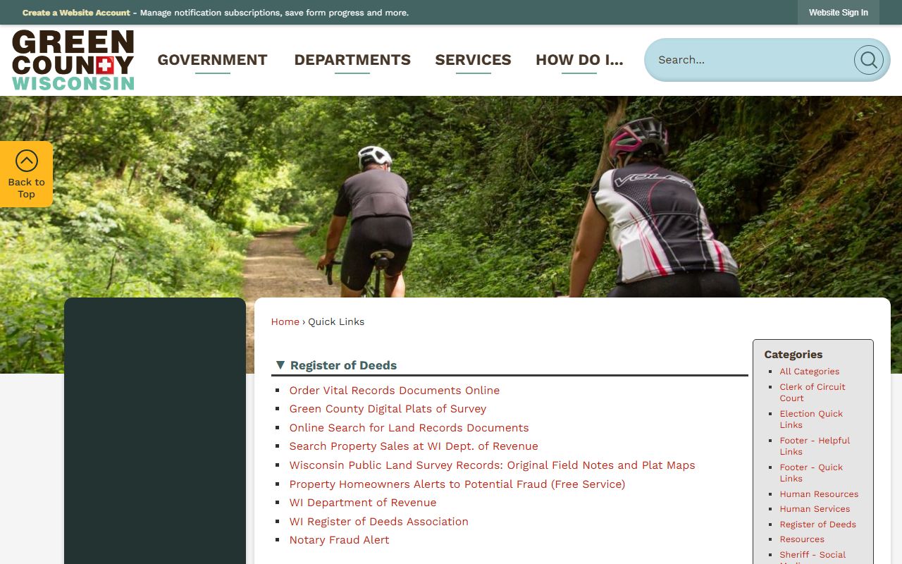
The quick links page gives you a useful shortcut when you want county and state record tools in one view.
Green County Property Records Fees
Green County's research gives copy fees for its Tapestry access model, and those are often the clearest numbers users need. The first page is $2, each additional page is $1, and a certified copy fee is $1. Those costs apply when the search moves beyond the free index and into actual document images or requested copies. That is a normal split in Wisconsin land records work, and it keeps the initial search available while still charging for the deeper file pull.
The county's broader fee picture also includes land use and zoning checks for unincorporated areas. If a property sits outside a city or village, the county Land Use and Zoning department becomes part of the search path. The county also points users to Wisconsin Department of Revenue property sales data, which is useful when a transfer history or valuation question needs a second source. Green County Property Records are easiest to price and interpret when the county pages and state pages are used together.
For statewide context, Wisconsin Department of Revenue and eRETR are the best transfer and assessment backstops. They help explain the public record, the state transfer return, and the legal fee structure behind the county filing.
Green County Property Records Help
If you need help with Green County Property Records, use the county pages first and then the statewide support pages when you need a rule or form check. The Wisconsin Public Land Survey Records pages and the Wisconsin State Law Library at wilawlibrary.gov/topics/realprop.php are useful when the search turns into a survey or conveyance question. The Wisconsin Register of Deeds Association at wrdaonline.org is another useful statewide reference for office practice.
The county pages already give you a workable path. The Register of Deeds handles the document, the land records page handles the maps, the treasurer handles tax context, and the zoning department handles the unincorporated parcels. That structure makes Green County Property Records practical for real searches and not just general browsing. If you keep the county tools in order, the work stays clear and local.
Green County Treasurer is the county page to use when tax status needs to be checked beside the record search.