Jackson County Property Records
Jackson County Property Records are built for a quick public search and a deeper land history check. The county seat is Black River Falls, and the Register of Deeds office there keeps the official document trail. You can search by name, document number, or legal description, which makes the county useful even when you only have one clue. Survey records are also part of the local system, so a parcel search can lead to a certified survey or a public land survey record without a lot of extra steps. That makes Jackson County practical for both new searches and older family or title work.
Jackson County Property Records Search
The Jackson County Register of Deeds office sits at 307 Main Street in Black River Falls. The office provides free recorded document search by name, document number, or legal description, which is a strong public path for users who want to get started without paying first. The county also keeps indexes back to county formation, so the search trail is not limited to only the newest papers. That is a real advantage when a search starts with a family name or an old parcel clue.
The county site at co.jackson.wi.us is the main entry point for Jackson County Property Records. From there you can reach the Register of Deeds page and the land information page. The county does not bury the key tools. It puts the record search, the map side, and the office contact in reach of the public. That helps people who need a quick search and also helps researchers who want to move from the index into the full county file.
Use the county tools in the order that fits your clue:
- Start with the free search if you know a name or document number.
- Use a legal description when the parcel clue is better than the party clue.
- Move to land information when the map matters.
- Use the office for copies or follow-up questions.
Jackson County Property Records Office
The office side is where Jackson County Property Records become official. The Register of Deeds keeps the real estate record set, and the county says the indexes go back to county formation. That long run is valuable because it lets a search move backward rather than stopping at a recent digital cut-off. The office also handles survey records, including certified surveys and public land survey material. That means the county file is useful not only for ownership, but also for how the land itself was described and broken out over time.
Wisconsin recording law still shapes the county file. Wis. Stat. § 59.43 covers recording duties and document standards. The transfer fee rules in Wis. Stat. § 77.22 and the confidentiality rule in Wis. Stat. § 77.265 explain how transfer data moves through the system. Even when Jackson County gives you a free search, those state rules still shape how the file is created and what remains private. The county office and the state law work together.
That legal frame matters when you need more than a search hit. A document number can point you to the file, but a certified copy is what closes the loop for title work, estate work, or a records request. Jackson County keeps that path simple and public, which is why the county works well for both casual lookups and more serious land research.
Jackson County Property Records Maps
Land information and parcel mapping round out Jackson County Property Records. The county land information page at co.jackson.wi.us/departments/land-information/ handles the geographic side of the record trail. That is useful when a deed index gives you the paper but you still need the land on the map. Parcel mapping can show how a property sits in the county and help you tie a survey to the right lot or tract.
Jackson County does not have county-folder image assets in the manifest excerpt, so the page uses state fallback images for the map and law sections. That keeps the page compliant and still grounded in official sources. The Wisconsin Department of Revenue page at revenue.wi.gov and the statewide parcel map at sco.wisc.edu/parcels/data are useful comparisons when you want to test a county parcel against the larger Wisconsin data set.
See the Wisconsin Register of Deeds Association in this WRDA source when you want the county record work in a broader state context.
The association page gives a statewide view of the office structure behind the local records.
See the statewide parcel map data in this Wisconsin State Cartographer's Office parcel source when you need a cross-check for land shape.
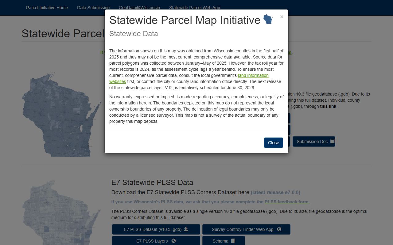
The parcel layer is a good match when the county record and the land shape need to line up.
See the Wisconsin State Law Library in this real property source when the search becomes a law question.
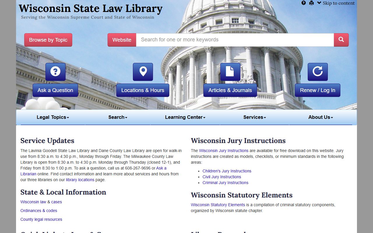
The library page is a plain-language backup for forms, statutes, and property law terms.
Jackson County Property Records Fees
Jackson County gives you a free recorded document search, which lowers the entry cost for most users. Fees still matter when you need a copy, a certified record, or a follow-up from the office. That is normal. The search may not cost much. The copy can still matter. If you only need to confirm whether a document exists, the free search is enough. If you need a paper for court, title, or probate, the office can move you to the copy stage.
The state fee structure still applies behind the scenes. Recording duties under Wis. Stat. § 59.43 and transfer fee rules under Wis. Stat. § 77.22 guide the local process. That means the county search is only one part of the bigger picture. Jackson County Property Records work best when you understand the difference between a public search, a recorded file, and a certified copy. Each one serves a different job.
Because Jackson County keeps the search path free at the start, it is a good county for first-pass title work. The free index can confirm a document number, a party name, or a legal description. Then you can decide whether you need to keep going. That saves time and keeps the work focused.
Jackson County Property Records Help
If you need help with Jackson County Property Records, start with the county pages and then use the state references when the question shifts to law or map standards. The Wisconsin Department of Revenue is the right backup for transfer and tax context. The State Cartographer's Office is the right backup for parcel data. The State Law Library is the right backup when a document term or recording rule needs plain language.
Jackson County is a good example of a county where the free search, the survey records, and the land information page all fit together. If one clue is weak, the next one often fills the gap. That is the point of using county records carefully. The record trail becomes stronger when you treat the index, the map, and the office as one system instead of three unrelated pages.