Search Jefferson County Property Records
Jefferson County Property Records are useful when you need both a historic image and a modern search path. The county seat is Jefferson, and the Register of Deeds office there keeps grantor, grantee, and tract indexes that reach back to 1983. Document images stretch back to 1838, which gives the county one of the deeper public land-record runs in the state. The land information system also combines ownership, assessment, permits, petitions, and taxes, so a search can move from the recorded document to the parcel data without losing the thread. That makes Jefferson County practical for research and current transactions alike.
Jefferson County Property Records Search
The Jefferson County Register of Deeds office is at 320 S. Main Street in Jefferson. The office gives daily users and occasional users different access paths, with Laredo for subscription-style searching and Tapestry for per-use access. That setup is helpful when you know you will search often, but it also works when you only need one document and do not want to buy a larger package. Jefferson County Property Records are built around that kind of practical use.
The county site at jeffersoncountywi.gov is the main entry point. From there you can reach the Register of Deeds page and the county GIS portal at apps.jeffersoncountywi.gov. The county's land records search supports general public access to ownership, assessment, permits, petitions, and taxes. That means you can move from one record type to the next without having to jump to a different county system. The public record trail stays in one place.
Use the local tools in a simple sequence:
- Use the office page for recorded document access.
- Use Laredo or Tapestry when you need a document image.
- Use the GIS portal when parcel shape or zoning matters.
- Use the public land records site when you need ownership and tax context.
Jefferson County Property Records Office
The office side of Jefferson County Property Records is unusually deep. Grantor, grantee, and tract indexes begin on January 1, 1983, while document images are available beginning November 21, 1838. That means the county is useful for both older history and more recent title checks. If you are researching a farm, a downtown lot, or a family transfer, the record trail has enough depth to support a real search. The Register of Deeds office also uses Fidlar tools, including AVID, Laredo, and Tapestry, which keeps the search workflow familiar for professional users.
Wisconsin law still defines the filing frame. Wis. Stat. § 59.43 governs recording duties and format standards. The transfer fee rule in Wis. Stat. § 77.22 and the confidentiality rule in Wis. Stat. § 77.265 still shape what the county can show and how the transfer return is handled. Jefferson County Property Records are easier to use when you read the document image, the index, and the state rule together. The county can show you the paper. The statute explains the structure around it.
That depth is what makes the county valuable. A search can start in 1838 and still connect to the modern land system. That is not common in every county, and it matters when a title chain or survey history runs long. For users who need certainty, Jefferson County gives both the old image and the current access path.
Jefferson County Property Records Maps
The county GIS portal at apps.jeffersoncountywi.gov is a major part of Jefferson County Property Records. The system was built in ArcGIS Web App Builder and integrates parcel polygons, tax roll data, and zoning information. That is a strong setup because it lets the public move from a property record into the map and then into the tax side without starting over. If a deed is one piece of the puzzle, the GIS portal is the place to see the whole outline.
The county also keeps a land information system that supports general public access to ownership, assessment, permits, petitions, and taxes. That broader access is useful when a parcel search needs one more layer of context. Jefferson County does have a county image in the manifest, and it helps show that land records work is tied to the local county system, not just one office page. The county image below is paired with state fallbacks to keep the records trail grounded.
See the Jefferson County land information system in this Jefferson County GIS source before you compare parcel polygons.
That portal is the county's best public path for parcel, zoning, and ownership context.
See the statewide parcel map data in this Wisconsin State Cartographer's Office parcel source when you want a broader map comparison.
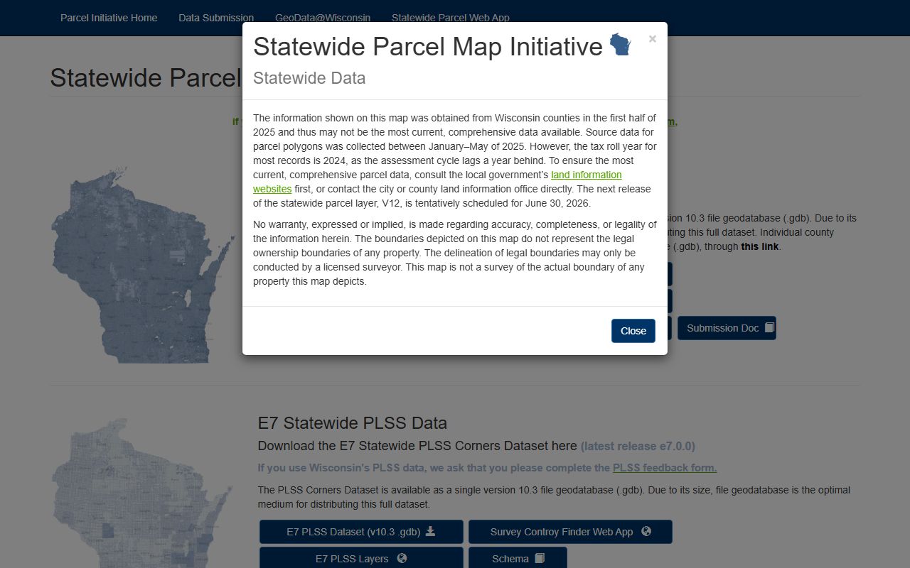
The statewide parcel layer is useful when you want a county parcel in a statewide frame.
See the Wisconsin Department of Revenue in this state transfer source when a deed needs a sales or transfer check.
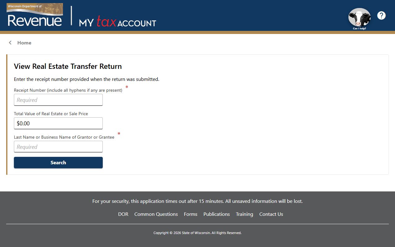
The transfer search is a good backup when the county image needs state-level context.
Jefferson County Property Records Fees
Jefferson County uses a subscription model for heavy users and a per-use model for occasional users. That is often the biggest cost difference in the county record search. If you work records every day, Laredo may be the right fit. If you only need one image, Tapestry may be enough. That structure keeps Jefferson County Property Records flexible without hiding the cost of access. It is the kind of setup that makes sense in a county with deep image history and a lot of daily public use.
Copy and filing charges still follow the state and office framework. The recording rules in Wis. Stat. § 59.43 matter when you are preparing a document. The transfer fee rules in Wis. Stat. § 77.22 matter when a conveyance changes hands. The county search can be fast, but the fee model still depends on whether you need a search, a copy, or a long-term access tool. That is the right way to read the county page and the office page together.
Jefferson County's fee structure also fits the public/private divide that is common in Wisconsin land records. Some records are open in the county GIS portal. Some are better handled through the register office. Some are simply easier to manage with a paid service. Knowing which path you need saves both time and money.
Jefferson County Property Records Help
If you need help with Jefferson County Property Records, the county's public pages are a strong starting point. The Wisconsin Register of Deeds Association at wrdaonline.org helps place the county office inside the statewide system. The Wisconsin State Law Library at wilawlibrary.gov/topics/realprop.php is useful when you need a plain-language backup for recording, conveyance, or property terms. The State Cartographer's Office is the best fit when you want a parcel data cross-check.
Jefferson County works well for users who need both history and current access. The county has old images, current parcel data, and a public land records system that ties the pieces together. If one path does not answer the question, the other usually does. That is the kind of county setup that rewards a careful search and makes the records trail easier to trust.