Find La Crosse County Property Records
La Crosse County Property Records are built for a full search path. The county seat is La Crosse, and the Register of Deeds office, the land records portal, and the survey maps all work together. That means you can begin with a tax parcel, an owner name, a property address, or a public land survey reference, then follow the record into acreage, zoning, legal description, or a document number. The county also gives users more than one online search route, which is useful when one system is better for a quick check and another is better for a copy. The search stays local, but the tools cover a lot of ground.
La Crosse County Property Records Search
La Crosse County Property Records start with the Land Records Information System at apps.lacrossecounty.org/LandRecordsPortal/search.aspx. That portal lets you search by tax parcel number, owner name, property address, or public land survey. It returns parcel number, acreage, owner name, address, zoning, legal description, and document numbers. That is a strong public search set because it ties the current parcel to the recorded file without forcing you into a separate map or tax site right away. The office also makes Search Property Transfers available through the online system, which helps when a transfer trail matters more than a single deed.
The county Register of Deeds office sits in the Administrative Center, Room 1220, at 400 4th Street North in La Crosse. It offers three online options for real estate records: Monarch, Laredo, and Tapestry. Monarch is the data stream for subscribers who want automated transfer, Laredo is built for daily local professional users, and Tapestry is the per-search path for occasional users. That mix gives La Crosse County Property Records a practical balance. A user can look up a parcel, then decide whether a subscription tool or a one-off search fits the next step.
The county homepage at lacrossecounty.org is the broader starting point if you need office links, while the land records portal is the direct path when the parcel clue is already in hand. La Crosse County keeps the public side easy to understand. The deed side, the map side, and the survey side are all tied together well enough that you can work from a name or a parcel and still reach the right file.
La Crosse County Property Records Office
The Register of Deeds office is the core of La Crosse County Property Records. It keeps the recorded land file and supports the three online access options. That matters in a county where a user may need a fast search during the day, a deeper document trail after hours, or a public transfer lookup for a closing. The office location in the Administrative Center is also important because it keeps the land file close to the county's other public service work. If you need a copy, the office remains the best place to confirm what is public and what needs a direct request.
Wisconsin law sets the framework for the office work. Wis. Stat. 59.43 covers the recording function, while Wis. Stat. 706 covers conveyances of real property. Transfer fee rules in Wis. Stat. 77.22 and transfer confidentiality in Wis. Stat. 77.265 still shape what the office can show and how it can show it. That is especially useful when a parcel file includes a recent transfer or when a user wants to understand why one record is public and another is not. La Crosse County Property Records are clearer when the county page and the statute page are used together.
The county survey maps page also belongs in the office picture. Survey maps are maintained for cities, towns, and villages, including the City of La Crosse. That makes the office useful not just for deed work but for land history and parcel boundaries too. In a county with city, town, and village layers, the survey map can be the thing that proves two records describe the same land. It is a practical tool, not a decorative one.
La Crosse County Property Records Maps
The land records portal and the survey map page do different jobs, and that is what makes La Crosse County Property Records useful. The portal gives you the parcel and document data. The survey maps page gives you the visual layer for city, town, and village records. When a parcel has changed shape, or when a legal description needs a field check, the map side can settle questions that a deed index cannot. The county also gives you document numbers in the portal, which helps connect the map clue back to the office file.
La Crosse County's online system is strongest when you use both the portal and the survey maps page together. The portal can show acreage, zoning, legal description, and the owner's name. The survey page can show how the record fits the city or township layout. That is a good combination for property work because it keeps the search anchored in the county's own records instead of in a third-party summary. When you need a state cross-check, the Wisconsin State Cartographer's Office parcel data at sco.wisc.edu/parcels/data and the Wisconsin Department of Revenue transfer search at ww2.revenue.wi.gov/RETRWebPublic/application are the best public backstops.
See the county land records portal in this La Crosse County land records source before you open a parcel search.
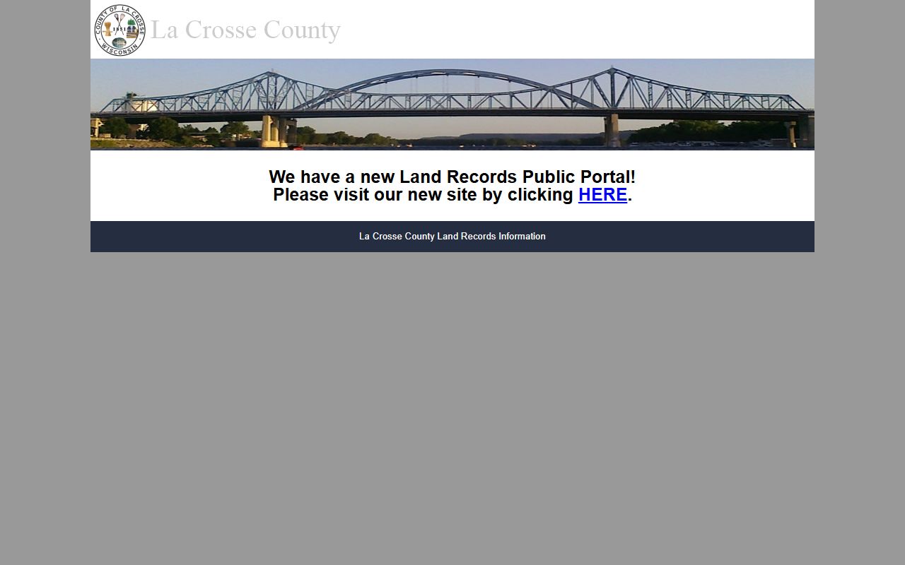
The portal image matches the county's direct search flow and gives a quick visual cue for the parcel and document system.
See the county survey maps page in this La Crosse County survey maps source when you need city, town, or village map detail.
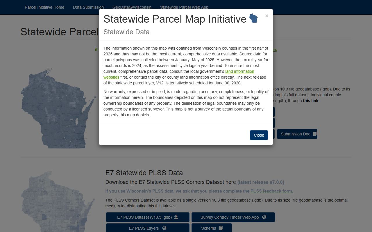
The statewide parcel map image is a good fallback here because it shows how the county map fits into the broader Wisconsin parcel layer.
La Crosse County Property Records Fees
The fee structure in La Crosse County depends on which access path you use. Monarch is a subscription path, Laredo is aimed at daily professional users, and Tapestry is a per-search option for occasional users. That means the cost is tied to the search style, not just the county itself. The portal side is free for basic parcel searches, while document access can move into a paid lane when you need images or repeated access. That split is common in Wisconsin and keeps La Crosse County Property Records flexible for different types of users.
There are also practical state fees and rules behind the county system. The recording rule in Wis. Stat. 59.43 controls the office side. The transfer fee and return system still follow the state framework, and the confidentiality rule under Wis. Stat. 77.265 protects the private parts of the transfer file. If you are comparing the public parcel screen with a recorded transfer, those rules matter. They explain why the county can show you one part of a file while another part stays limited.
For general property law context, the Wisconsin State Law Library at wilawlibrary.gov/topics/realprop.php is a useful backup when a fee question turns into a forms or statute question. It is a good public reference point when you need to understand the rules behind the portal. That makes the county page easier to use because the tools stay local while the legal frame stays clear.
La Crosse County Property Records Help
If you need help with La Crosse County Property Records, the best route is to start with the land records portal, then move to the Register of Deeds office if the portal result is not enough. The office can help you sort out Monarch, Laredo, or Tapestry depending on whether you are a daily user or just need a one-off search. The survey maps page adds another layer when a parcel has changed or when a city, town, or village boundary matters. That is usually enough for a solid local search.
La Crosse County also has a good pattern for users who want a clean public trail. The portal gives parcel facts. The survey map gives context. The office gives the official record. When those three pieces line up, the file is easy to trust. That makes La Crosse County Property Records more useful than a single page of results and keeps the work focused on the actual land history.
Note: La Crosse County is strongest when the portal and the survey maps page are used together, because each one answers a different part of the same property question.