Search Milwaukee County Property Records
Milwaukee County Property Records are the largest and busiest search set in this group. The county keeps a land records portal, an interactive mapping system, and a property assessment database that all work from different sides of the same parcel. That is useful because Milwaukee searches often start with an address, owner name, or tax key number and then move into a document image or map layer. The county's record system is broad, but it is still organized enough to be practical. If you know where to start, the county gives you a direct path.
Milwaukee County Property Records Search
The Milwaukee County Register of Deeds provides the Land Records Portal for searching property records by address, owner name, or parcel identification number. That makes Milwaukee County Property Records unusually accessible for a county of this size. The county also has two paid services for recorded document search, which gives frequent users a way to get deeper access without depending on the same public screen every time. The county site at county.milwaukee.gov is the first county stop, but the land records portal is where the document work starts.
Milwaukee County Property Records also fit the Wisconsin recording and transfer framework. Wis. Stat. § 59.43 governs recording duties, while Wis. Stat. § 77.22 governs transfer fees. That matters because a county record can include the deed image, the search result, and a state transfer trail that all need to be read together. The county setup makes that possible without forcing you into one single database.
The Milwaukee County property assessment database at assessments.milwaukee.gov gives an additional search layer by address or tax key number. That is useful when you want property characteristics or assessment history instead of the recorded document itself. In Milwaukee County, the office record and the assessment record work best as a pair.
Milwaukee County Property Records Office
The Milwaukee County Register of Deeds office is at 901 N. 9th Street, Room 103, in Milwaukee. It is the county's main route for recorded property records and the official place for document search through the Land Records Portal. The office is useful when you need a deed image, a copy request, or a search by parcel identification number. In a county this large, that official office path matters because the document trail can be busy and the search volumes are high.
The county's interactive mapping service through MCLIO at applications-mclio.hub.arcgis.com adds ownership, assessment, and tax data without requiring a login for basic searches. That makes Milwaukee County Property Records easy to move through when you know the parcel but need a map or a tax layer. The property assessment database is the other major office-level tool, and it gives you the kind of detail that can confirm a search before you order a copy.
For statewide comparison, the Wisconsin Department of Revenue transfer search at ww2.revenue.wi.gov/RETRWebPublic/application and the Wisconsin State Cartographer parcel map data at sco.wisc.edu/parcels/data are the best backup pages. They help when a Milwaukee record needs a transfer check or a wider parcel view.
Milwaukee County Property Records Maps
See the Milwaukee County land records portal in this county land records source before you start a parcel or document search.
The land records portal is the clearest public route into document searches.
See the Milwaukee County interactive map in this county mapping source when you need ownership, assessment, and tax data together.
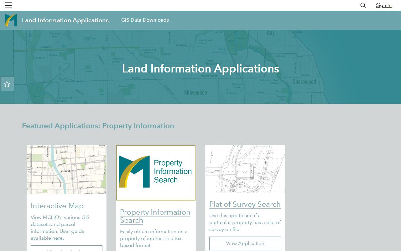
The mapping layer is useful when the parcel view matters as much as the record itself.
See the Milwaukee County property assessment database in this county assessment source when you need a tax key or property characteristic lookup.
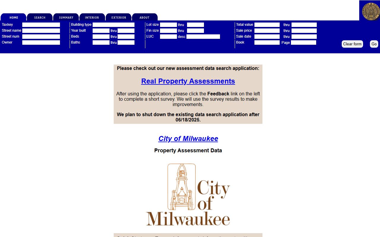
The assessment database gives Milwaukee County Property Records a strong tax-side reference point.
Milwaukee County Property Records Fees
The research set points to two paid services for recorded document search, which is typical for a county with a large record volume. That means the cost is tied to how deep you need to go. The public portal is enough for many searches, but paid access is available when a frequent user needs more detail or more efficient retrieval. Milwaukee County Property Records therefore support both casual use and heavier research.
The assessment database and MCLIO mapping are part of the cost control story because they let you verify a parcel before you order a copy. That cuts down on wasted requests. It also helps when an address or tax key number is the only clue. Once the parcel is confirmed, the document search is more likely to hit the right record the first time.
That layered workflow is especially valuable in Milwaukee County Property Records because the county has enough parcels and enough turnover that a rushed document order can easily miss the exact file you need. Using the public tools first is not just convenient. It is the best way to narrow the request. The county assessment database can confirm the tax key. MCLIO can confirm the parcel location. The land records portal can then confirm the filing trail before paid retrieval becomes necessary.
For statewide context, Wis. Stat. § 77.25 lists transfer fee exemptions, and Wis. Stat. § 77.265 explains why some transfer details are confidential. Those rules help make sense of the county filing side.
Milwaukee County Property Records Help
If you need help with Milwaukee County Property Records, start with the Land Records Portal and MCLIO. That gives you the document trail and the map trail without jumping around the web. In a county this large, that kind of structure matters because a single parcel can show up in more than one county system. The office path, the tax key path, and the map path all need to align.
Milwaukee County Property Records are at their best when the assessment database and land records portal are used together. The assessment side gives property characteristics and history. The land records side gives the filing. MCLIO gives the map. If you keep those three layers in view, the county becomes much easier to search.
That three-part workflow is especially important in Milwaukee because the county search volume is large and the first clue is often a street address or tax key number rather than a document number. The assessment database can confirm the property characteristics. MCLIO can confirm the parcel and location. The land records portal can then carry the search into the recorded document side. Used together, those systems keep Milwaukee County Property Records from feeling too broad, and they make it easier to avoid ordering the wrong file in a county with a dense parcel base.
Milwaukee County Property Records also stand out because the county and city systems overlap in a useful way instead of forcing the user to pick one or the other too early. The county land records portal is best for filed documents. The city assessment database is best for characteristics and tax-key-driven lookups. MCLIO is best for the parcel map and integrated tax view. In a county with this many parcels and this much turnover, that layered structure is not extra complexity. It is what makes the search workable.
Milwaukee County Register of Deeds is the main office page to use when the search needs a direct county contact.