Find Oneida County Property Records
Oneida County Property Records give you both the filing trail and the map trail in one place. The Register of Deeds office has county land sales that can be viewed by PIN, and the land information program keeps survey maps, parcel maps, zoning maps, flood maps, real property listings, and monumentation records available. That mix is useful when a search starts with a lot line, a tax key, or a parcel number. If you need the document side, the office can help. If you need the map side, the land information page gives you the wider view.
Oneida County Property Records Search
The Oneida County Register of Deeds page at oneidacountywi.gov/departments/register-of-deeds/ is the best place to begin. The research notes show that the office provides county land sales information viewable by PIN numbers. That makes Oneida County Property Records especially useful when you start with a parcel key and need to see what the county has filed around it. The county website at oneidacountywi.gov gives you the wider county frame, but the Register of Deeds page is where the records work happens.
The county setup also helps when a land search has to move from a search screen to an office question. A PIN can point you to a sales entry. A recorded document can point you to the filing side. A parcel map can confirm whether the land clue matches the real lot. That is why Oneida County Property Records are practical for both title work and ordinary property checks. They let you move from one clue to the next without losing the thread.
State rules still matter in the background. Wis. Stat. § 59.43 sets recording standards, and Wis. Stat. § 19.31-19.39 explains the public records law frame that supports requests and office access. When a county record needs a broader legal explanation, the Wisconsin State Law Library at wilawlibrary.gov/topics/realprop.php is the best plain-language backup.
Oneida County Property Records Office
The Register of Deeds office is in the Oneida County Courthouse at 1 S. Oneida Avenue in Rhinelander. That office is the county anchor for Oneida County Property Records because it is where the land sales information and the recorded document trail meet. When a search begins with a PIN, the office can help connect it to the recorded side. When the question begins with a deed, the same office can help move the search back toward the parcel side.
The land information page at oneidacountywi.gov/departments/land-information/ adds the mapping and data side. The research notes say the land records committee oversees the Wisconsin Land Information Program and maintains real property listings, tax parcel maps, GIS, land surveys, public land survey monumentation records, and aerial photography. That is a strong record base. It means Oneida County Property Records are not limited to one view of the land. They combine office records, map records, and survey records in one county framework.
That structure matters when the property question is precise. A parcel map can confirm a location. A survey map can show a line. A real property listing can help match a tax or ownership clue. Oneida County Property Records are strongest when those layers are checked together instead of in isolation. That makes the county useful for both older land history and current parcel work.
Oneida County Property Records Maps
See the Wisconsin State Cartographer parcel data in this state parcel map source when you want a statewide parcel comparison beside Oneida County Property Records.
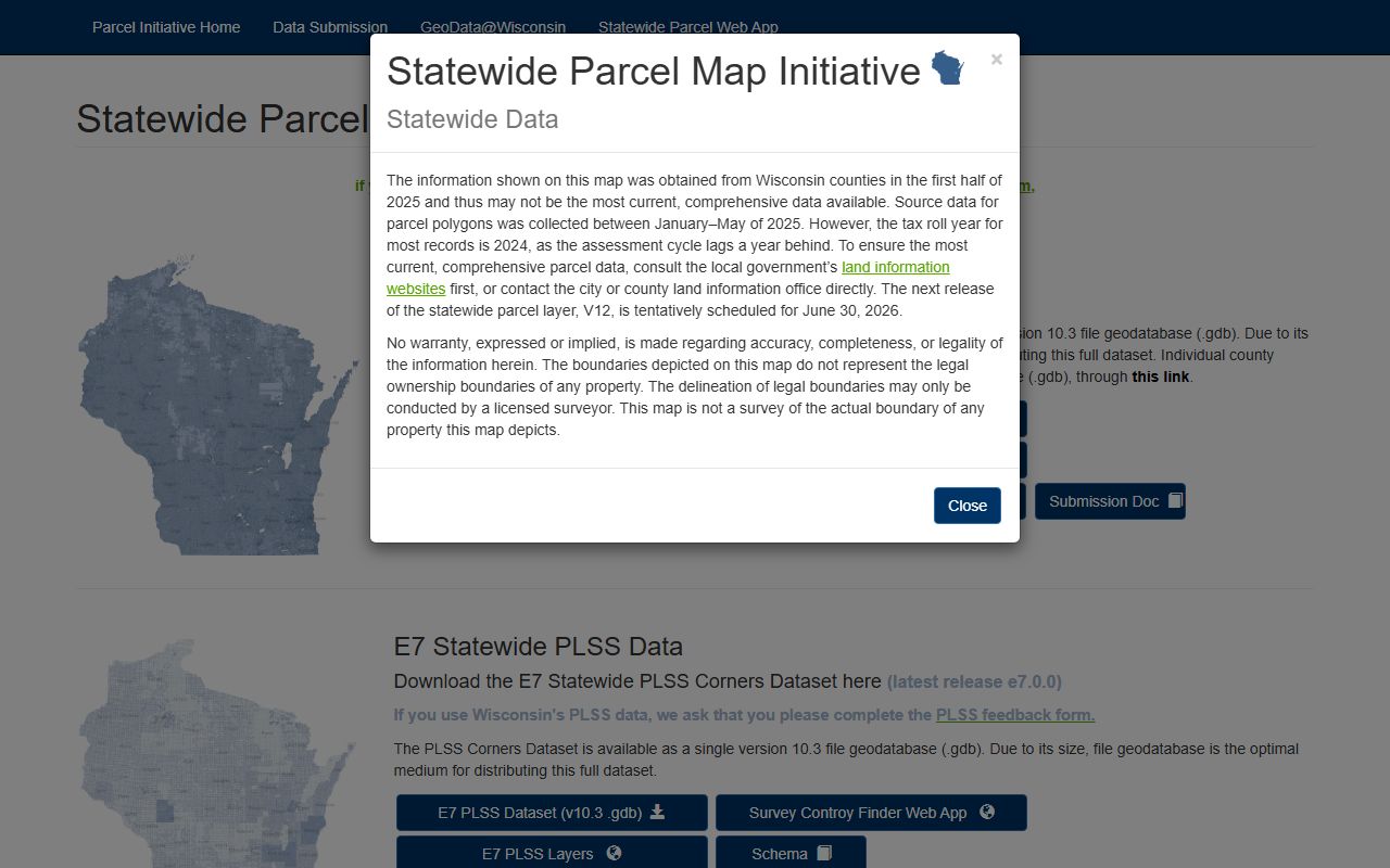
The parcel layer is useful when a county parcel needs a clean visual check or a location comparison.
See the Wisconsin Department of Revenue transfer search in this state transfer search source when you want a public transfer trail to compare with the county file.
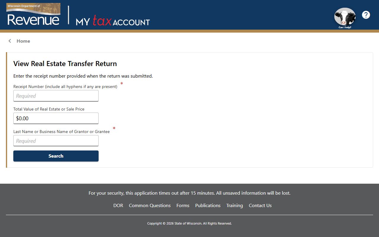
The transfer search helps when a deed and a transfer return should be read together.
See the Wisconsin State Law Library property guide in this state property law source when you need help with deed language, parcel terms, or filing rules.
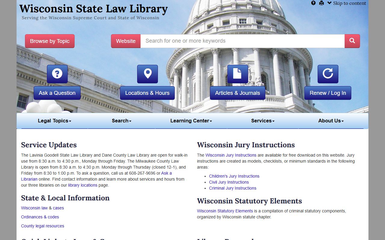
The law library guide keeps Oneida County Property Records readable when the legal terms get dense.
Oneida County Property Records Fees
The research notes do not list a detailed fee table for Oneida County. What they do show is that the county gives you several ways to narrow the search before you ask for copies. The land sales tool uses PIN numbers, and the land information side gives you parcel maps, survey maps, and real property listings. That means Oneida County Property Records can often be confirmed at the screen before you spend time or money on a deeper request.
That is a practical advantage. A parcel search that begins with the wrong owner name can be slow and costly. A PIN-based search is usually faster. A map check can keep you from ordering the wrong record. Oneida County Property Records are therefore easier to manage when the office page and the land information page are used together first. After that, the office can confirm whether a copy or a deeper request is actually needed.
For statewide framing, Wis. Stat. Chapter 706 is the key conveyance chapter, and Wis. Stat. § 70.09 helps explain the real property listing side that often sits behind the parcel record. Those links are useful when the county search raises a title or assessment question.
Oneida County Property Records Help
If you need help with Oneida County Property Records, use the land information page first and the Register of Deeds page second. That order fits the research notes. The county keeps tax parcel maps, GIS, land surveys, and public land survey monumentation records, so the map side is often the quickest way to confirm a clue. Once the location is clear, the office side can help with the recorded document trail.
Oneida County Property Records are also helped by the county's broader mapping set. Survey maps, parcel maps, zoning maps, and flood maps can each answer a different part of the same question. A parcel number may tell you where the land is. A survey map may tell you how it was laid out. A flood map may explain why the file matters in a different way. That variety is useful when the property question is not just about ownership but about use and place.
The land records committee is worth noting because it shows the county is maintaining the Wisconsin Land Information Program rather than treating maps as an afterthought. That is why Oneida County Property Records have a strong local structure. Real property listings, tax parcel maps, GIS, surveys, monumentation records, and aerial photography all support each other. If you keep those layers in mind, the county becomes easier to search and easier to trust.
When the county record needs outside help, the Wisconsin State Law Library is the best general guide, and the Wisconsin State Cartographer parcel data is the best wider map comparison. That gives Oneida County Property Records a clean local-to-state path without making the search harder than it has to be.