Access Ozaukee County Property Records
Ozaukee County Property Records are a good fit when you need both recorded documents and survey detail. The county office in Port Washington keeps the search side open through paid services, while the land information office adds GIS access, parcel data, and a public mapping layer. That mix helps when a search starts with a name, a lot, or a section clue. It also helps when a property question needs a map, not just a deed. For Ozaukee County, the record trail is direct, but the map trail matters too.
Ozaukee County Property Records Search
The Ozaukee County Register of Deeds provides recorded document search through paid services. Research notes say the office also keeps survey records and survey maps, including section corner dossier sheets. That makes Ozaukee County Property Records especially helpful when the record question is about a line, a corner, or a shape on the ground, not only about who owns the property now. The county site at ozaukeecounty.gov is the main county starting point.
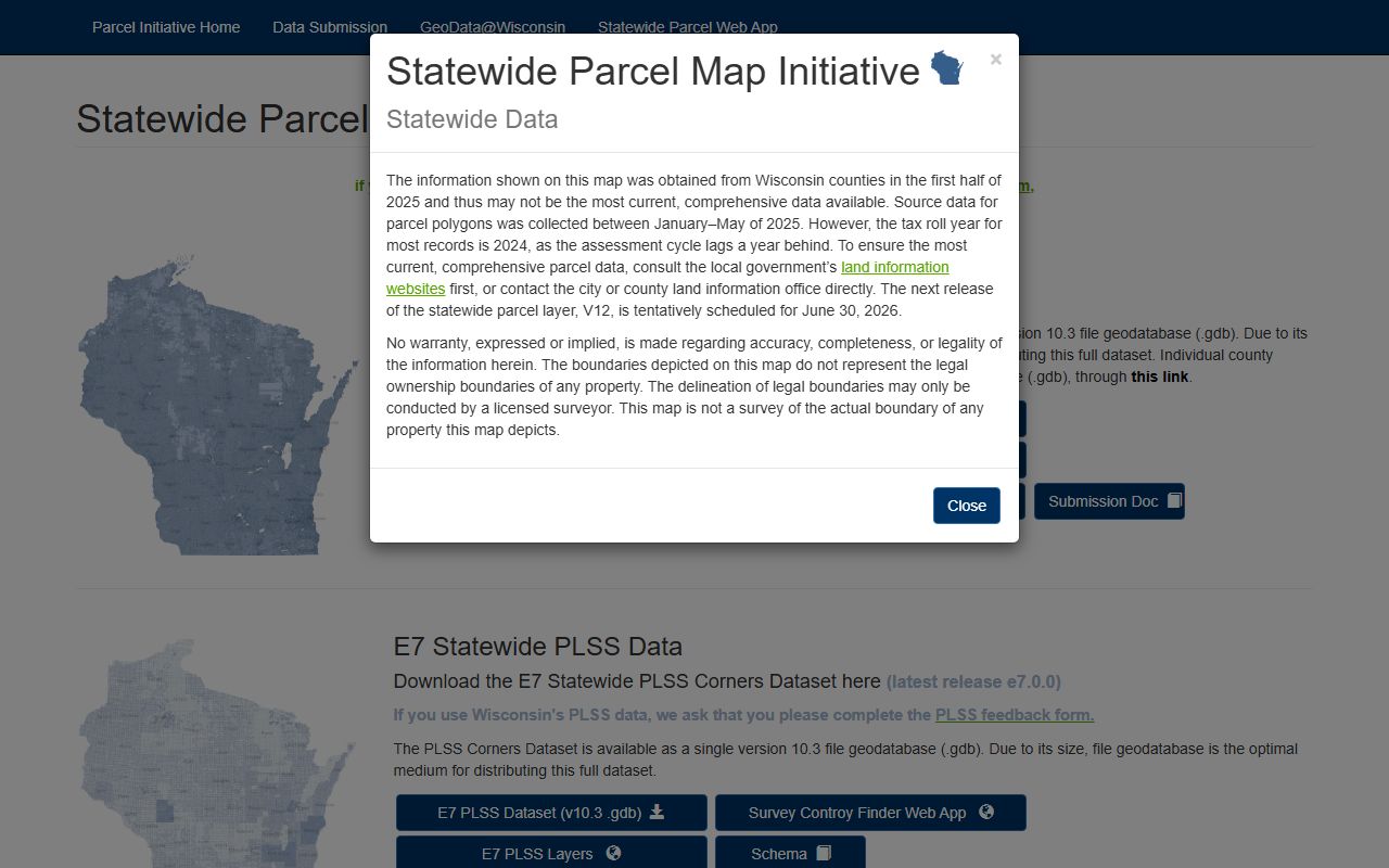
The Land Information page is just as important. It points to the Ozaukee County GIS Hub, which gives public access to GIS datasets and interactive mapping applications. That means Ozaukee County Property Records can move from a deed search into a parcel layer without losing the local context. Parcel data, mapping tools, and land records coordination all sit in the same county structure, which makes the search feel steady instead of scattered.
State resources still matter when the county file needs a broader frame. The Wisconsin Department of Revenue transfer search at ww2.revenue.wi.gov/RETRWebPublic/application can help with a transfer check, and Wis. Stat. § 59.43 gives the recording rule that supports the office file. If a term or title step needs a plain explanation, the Wisconsin State Law Library at wilawlibrary.gov/topics/realprop.php is a good backup.
Ozaukee County Property Records Office
The Register of Deeds office is at Ozaukee County Courthouse, 121 W. Main Street, Room 120, Port Washington, WI 53074. The research gives the office phone as (262) 284-8260. That office is the county's main point for paid recorded document search, and it is the right place to begin when you need a deed copy, a survey note, or a section corner reference. The office path is clear, and that helps keep the search focused.
Ozaukee County Property Records are especially useful because the office does not stop at plain document indexing. The research notes say survey records and survey maps, including section corner dossier sheets, are available. That kind of material matters when a parcel question is about boundary shape or monument history. A deed can show ownership. A survey sheet can show why the parcel sits where it does. In Ozaukee County, those two records work best together.
The Land Information Office adds the mapping side. It points to the GIS Hub, where the public can view datasets, interactive applications, and parcel information. That gives Ozaukee County Property Records a clean map layer for users who need more than a document image. If the question turns into a rule question, Wis. Stat. Chapter 706 and Wis. Stat. § 77.22 are the best statewide backup links for conveyance and transfer context.
Ozaukee County Property Records Maps
See the Wisconsin State Cartographer parcel data in this state parcel map source when you want another layer beside Ozaukee County Property Records.
The parcel layer is useful when a map check needs a wider Wisconsin view.
See the Wisconsin Department of Revenue transfer search in this state transfer search source when you want a public filing check alongside an Ozaukee record.
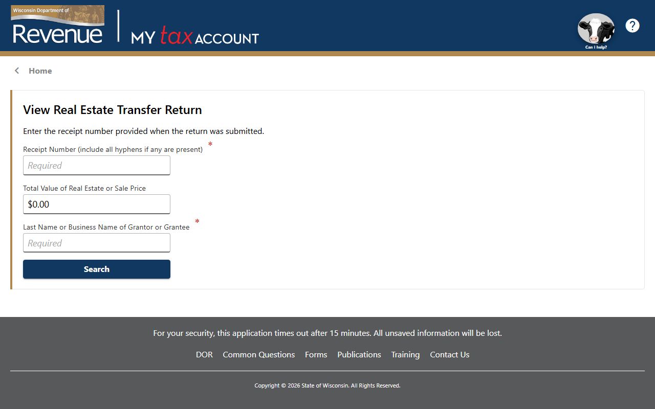
The transfer search is a good match when the office file and the filing trail need to line up.
See the Wisconsin State Law Library property guide in this state property law source when you want a plain guide beside local record work.
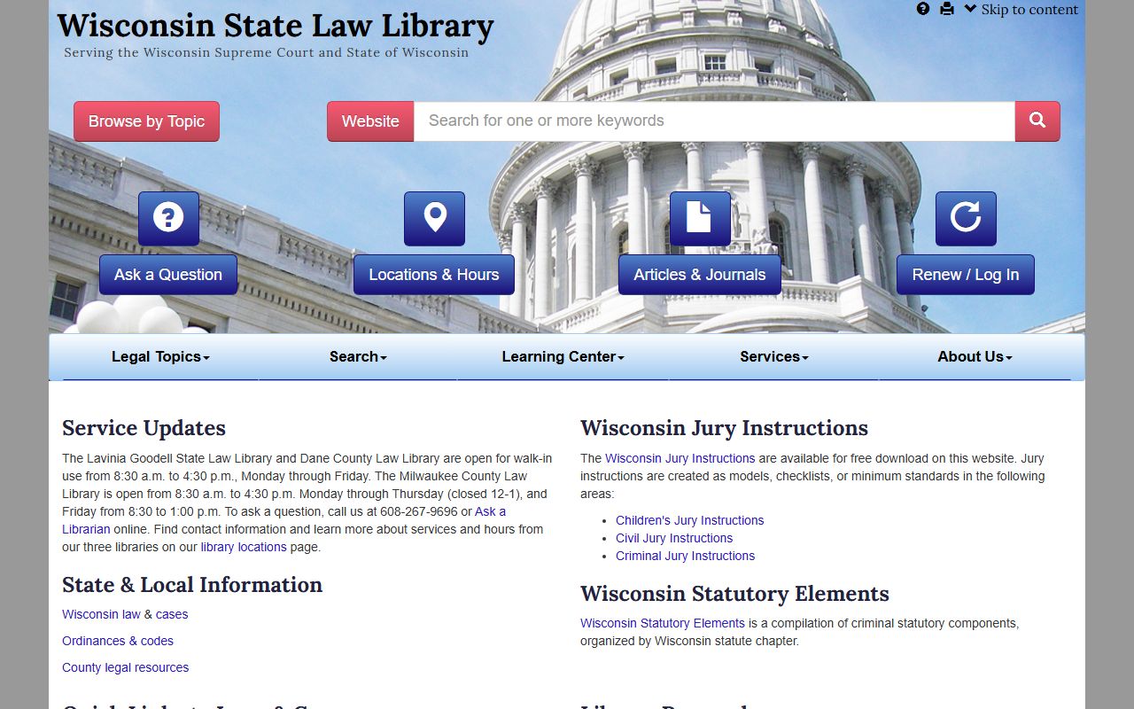
The law library guide helps when a deed term or survey note needs a clear reading.
Ozaukee County Property Records Fees
The research notes show that recorded document search is paid, but they do not give a full fee table in this source set. That means the safe move is to use the office pages first, find the record type you need, and then ask the Register of Deeds office about the current cost. Ozaukee County Property Records are easier to handle when you know whether the search is for a deed, a survey map, or a section corner file.
The GIS Hub helps with cost control too. If you can confirm the parcel, the corner, or the map view before you request a copy, you are less likely to pay for the wrong file. That is useful in a county where the record trail and the map trail are both strong. Ozaukee County Property Records become more efficient when the parcel data is matched before the copy request starts.
State rules explain the rest of the filing side. Wis. Stat. § 59.43 covers recording duties, Wis. Stat. § 77.25 covers transfer fee exemptions, and Wis. Stat. § 77.265 explains the confidential side of transfer returns. Those links help make the county fee side easier to understand even when the office page does not publish a full price list here.
Ozaukee County Property Records Help
If you need help with Ozaukee County Property Records, start with the Register of Deeds page and then move to the Land Information page or the GIS Hub. That order works well because the county gives you both document access and map access. If the question is about a recorded paper, the office is the right stop. If the question is about the parcel shape or a public map, the GIS Hub is the better tool.
Ozaukee County Property Records are also useful when survey detail matters more than a plain deed line. The section corner dossier sheets and survey maps can resolve questions that a basic document search cannot. That is important for older parcels, boundary work, and any search where a corner note matters as much as an owner name. The county office gives you the recorded paper, and the map side gives you the shape.
When the local page does not answer every legal point, the Wisconsin State Law Library and the Wisconsin State Cartographer office are the best backup sources. The cartographer parcel data helps with map checks, and the law library helps with title terms and recording language. If you need an older land-history context, the Wisconsin Historical Society is another useful statewide source. Together, those pages give Ozaukee County Property Records a solid support system without pushing the search away from Port Washington.
The county setup is especially helpful for people who want a single property to make sense from more than one angle. A deed shows the file. A survey sheet shows the corner. A GIS layer shows the parcel. That is the strongest way to read Ozaukee County Property Records because it keeps the ownership trail, the map trail, and the survey trail in the same line of thought.
Ozaukee County website is the county home page for office links and local updates.