Find Washburn County Property Records
Washburn County Property Records are built around a county office that records deeds, mortgages, tax liens, old age assistance liens, articles of incorporation, and plats. The land information office adds the survey side, and the Beacon GIS page gives you a practical way to check parcels before you ask for a copy. That mix is useful when the first clue is a name, a parcel, or a tax record. If you need the filing trail and the map trail together, Washburn County gives you a strong way to begin.
Washburn County Property Records Search
The county website at co.washburn.wi.us is the first place to start, and the Register of Deeds page at co.washburn.wi.us/departments/register-of-deeds/ gives you the office contact. The office at the Washburn County Courthouse in Shell Lake handles the core property records trail. That makes Washburn County Property Records easier to place in the right office before you spend time on broader searches.
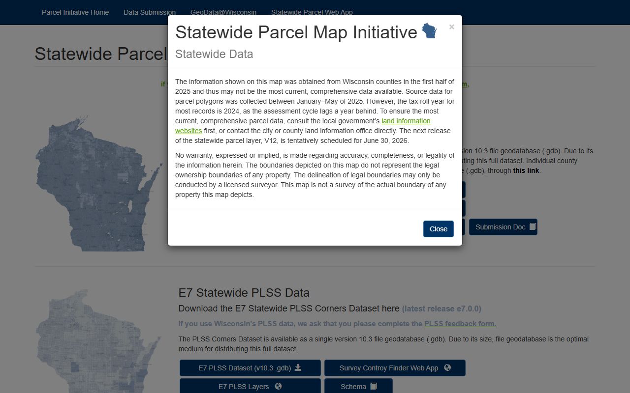
The county also has a land information page at co.washburn.wi.us/departments/land-information/ and a Beacon GIS portal at beacon.schneidercorp.com/Application.aspx?App=WashburnCountyWI. Those tools help with parcel context before a document request. Washburn County Property Records are easier to trust when the map, the tax side, and the office file all point to the same piece of land.
The county treasurer page at co.washburn.wi.us/departments/county-treasurer/ provides property tax and land record information, which is useful when the parcel clue needs a tax-side check before you ask for a copy. Washburn County Property Records work best when that tax record is read beside the deed and the map.
The county's GIS data downloads page at co.washburn.wi.us/gis-data-downloads/ is especially useful because it offers parcels, PLSS, roads, address points, municipal boundaries, school districts, public lands, voting districts, emergency services, and building footprints. If a legal term or title note needs a plain explanation, the Wisconsin State Law Library at wilawlibrary.gov/topics/realprop.php is the best backup.
Washburn County Property Records Office
The Register of Deeds office is in the Washburn County Courthouse at 10 Fourth Avenue in Shell Lake. The office phone is (715) 468-4644. That office is the county anchor for Washburn County Property Records because it handles the document side that underlies ownership and title work. If the search starts with a name or an old filing note, the office page is the best first stop.
The county surveyor is also part of the picture through the land information office. That matters because the county notes that the surveyor maintains USPLSS corners and monuments. Washburn County Property Records are therefore useful not only for deed work but also for land-line work. A parcel that needs a better visual check can move from the office page to Beacon and then to the GIS download tools.
The county also says a license agreement is not required for digital map data except aerial photography, and building footprints are based on LiDAR data collected in 2016 and updated in 2020 and 2024. Those details help because they show the county's map base is current. When the map and the deed line up, Washburn County Property Records become much easier to trust.
The Beacon user guide at co.washburn.wi.us/wp-content/uploads/2025/10/Beacon-User-Guide.pdf is helpful when parcel layers, roads, and address points need a clearer read. Washburn County Property Records also benefit from the GIS downloads because parcels, PLSS, public lands, and building footprints can confirm the same tract in more than one layer. That is useful when a deed line is vague or a road name has changed.
Washburn County Property Records Maps
See the Wisconsin State Cartographer parcel data in this state parcel source when you want a broader comparison beside Washburn County Property Records.
The parcel layer is useful when the county map needs a wider Wisconsin view.
See the Wisconsin Department of Revenue transfer search in this state transfer source when you want transfer context beside Washburn County Property Records.
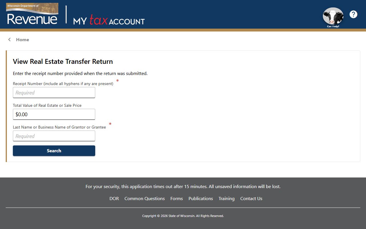
The transfer search helps when a deed and transfer return should be compared.
See the Wisconsin Historical Society in this historical society source when you want older land or place history beside Washburn County Property Records.

The historical society is a useful backup when a family or place trail overlaps with the land file.
Washburn County Property Records Fees
The research set does not give a full Washburn County fee table, so the best move is to narrow the record first and then ask the office about the current request path. Washburn County Property Records are easier to budget for when you already know whether the request is for a deed, mortgage, lien, or plat. That keeps the search focused and reduces the chance that you ask for the wrong file.
The county's GIS downloads page can also help control cost because it lets you confirm a parcel or PLSS line before you request a copy. That is a useful way to avoid waste. Washburn County Property Records work best when the office page, the Beacon map, and the GIS downloads all point to the same land.
For statewide context, Wis. Stat. § 59.43 covers recording duties, Wis. Stat. § 77.22 covers transfer fees, and Wis. Stat. § 77.25 covers exemptions. If a transfer return detail is private, Wis. Stat. § 77.265 explains why.
Washburn County Property Records Help
If you need help with Washburn County Property Records, start with the Register of Deeds page and then move to Beacon. That order fits the county's structure. The office page gets you to the document. The map gets you to the parcel. If the property still does not line up, the GIS downloads can show roads, address points, public lands, or building footprints that help close the gap.
Washburn County Property Records are also helped by the county surveyor role. USPLSS corners and monuments can matter when a parcel line is not obvious from the deed text. That is especially useful in a county with strong map data and LiDAR-based building footprints. A search that starts with a road or tax clue can move through those layers until the land makes sense.
If the filing language gets dense, the Wisconsin State Law Library is the best plain-language backup, and the Wisconsin State Cartographer parcel data is the best outside map comparison. Those statewide resources do not replace the county office. They just help the county record read more clearly when the question becomes technical or historical.
The Beacon user guide is also worth using when the map interface needs a little help, especially if you are working with parcel layers, roads, or address points. Washburn County Property Records are strongest when the office page, Beacon, the GIS download set, and the surveyor role are all read together. That keeps the search practical and lowers the chance that a small map mismatch turns into a bigger record problem.
Washburn County Property Records are therefore strongest when the office page, the Beacon map, and the GIS downloads are used as one workflow. That keeps the search practical and gives you a better shot at the exact parcel or filing you need.
Washburn County Beacon GIS is the county's main map platform for parcel checks.